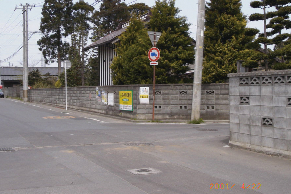
2001年4月22日
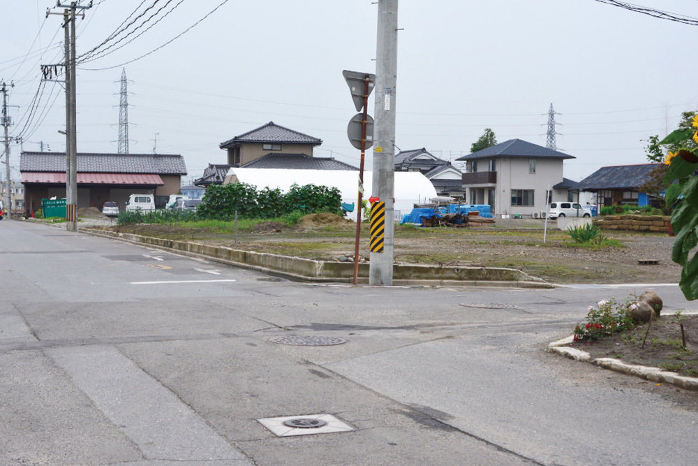
2013年7月19日
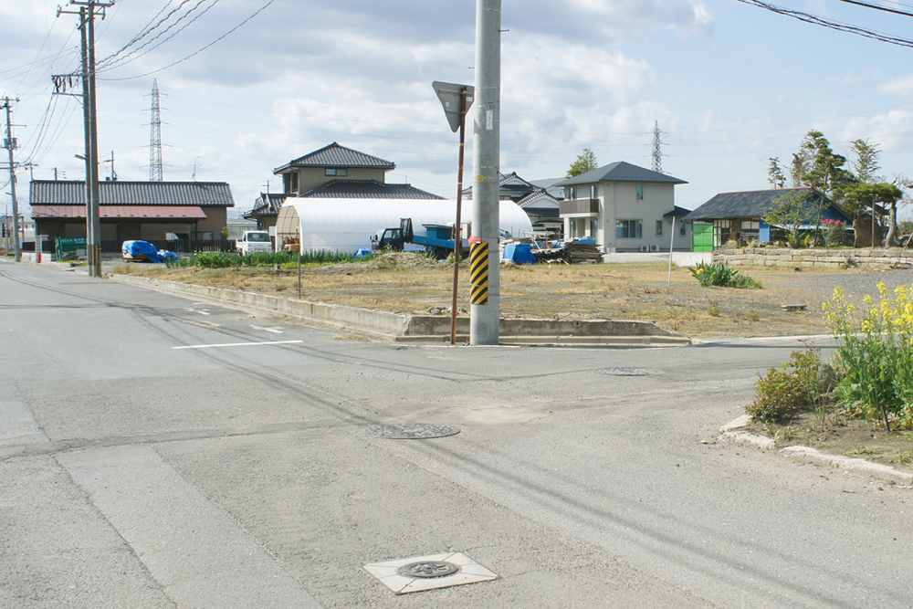
2014年5月2日
2015年6月13日
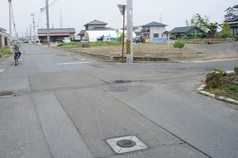
この地区の中心で、地域の人たちが「十字路」と呼ぶ辻。昭和の頃には火の見櫓があった。中央に写っていた蔵は、津波により全壊した。
Local people call this intersection, which is located in the center of this area, “the crossroads”. During the Showa period, a fire lookout tower was located here. The warehouse that you can see in the center of the image was completely destroyed by the tsunami.
- 記録場所
- 宮城県仙台市宮城野区蒲生鍋沼47
(緯度 38.254111 / 経度 140.989538) - 記録者
- 2001年 髙橋親夫
2013-2015年 特定非営利活動法人 都市デザインワークス
南蒲生地区定点観測写真について
これらの記録写真は、特定非営利活動法人 都市デザインワークスが専門家や地元住民と一緒に取り組む「みんなの居久根創出プロジェクト」の一環として、30年にわたり地元の街なみを記録し続ける髙橋親夫氏が震災前に撮影した南蒲生地区の写真を基に、同法人が震災後も同じ場所で撮影したものです。


