
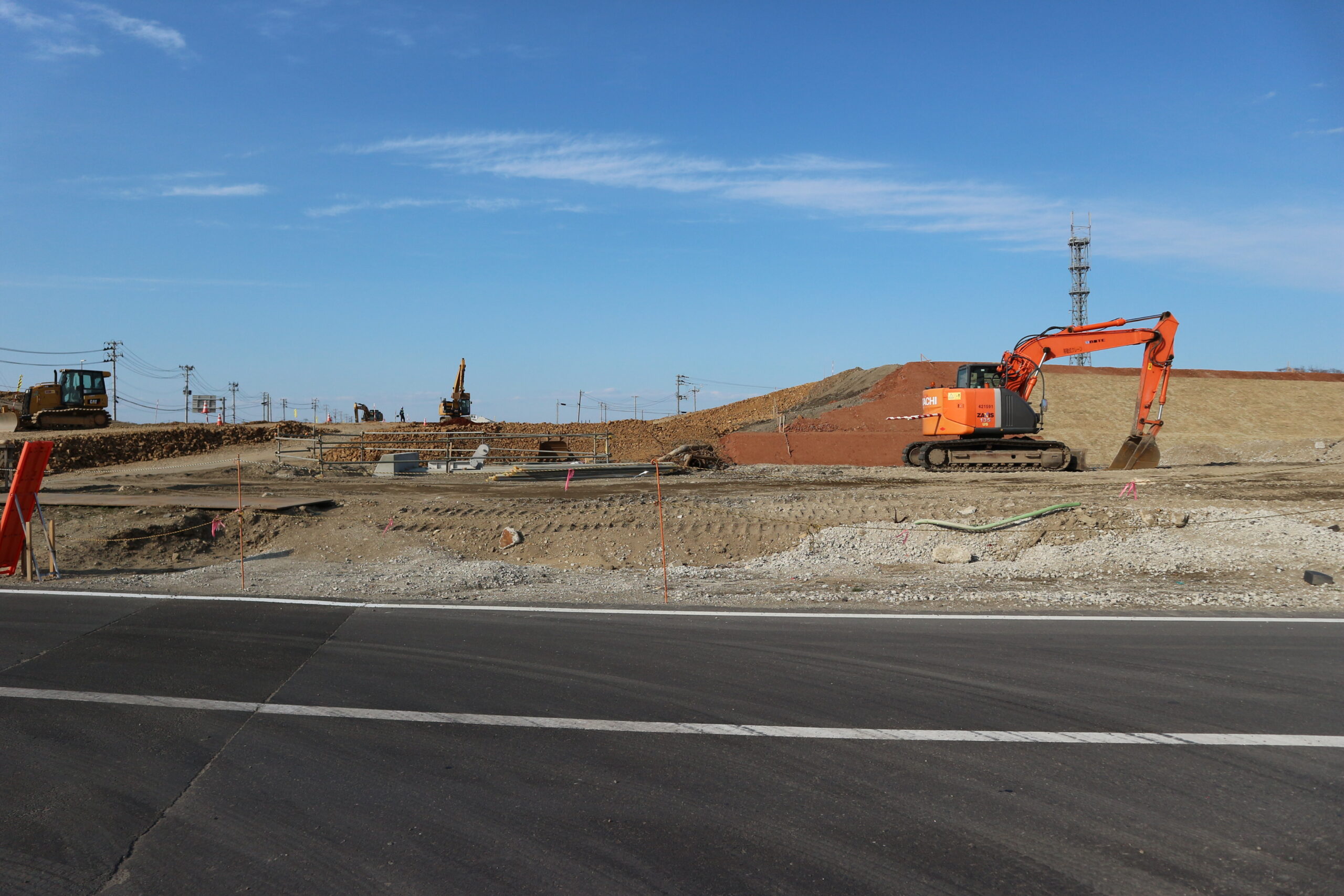
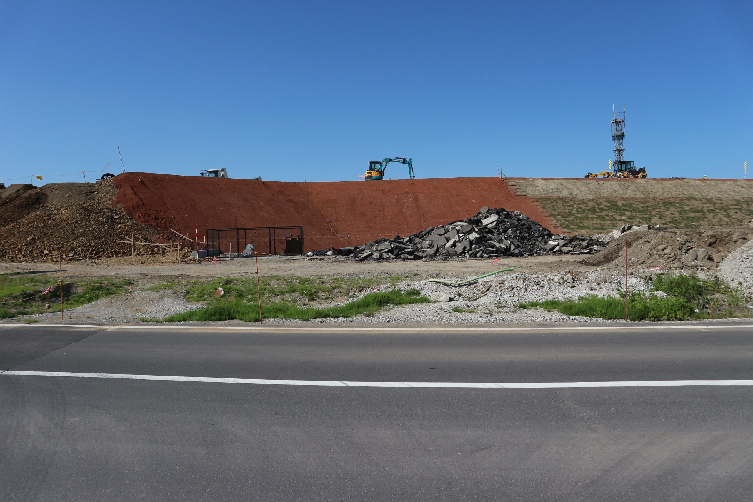
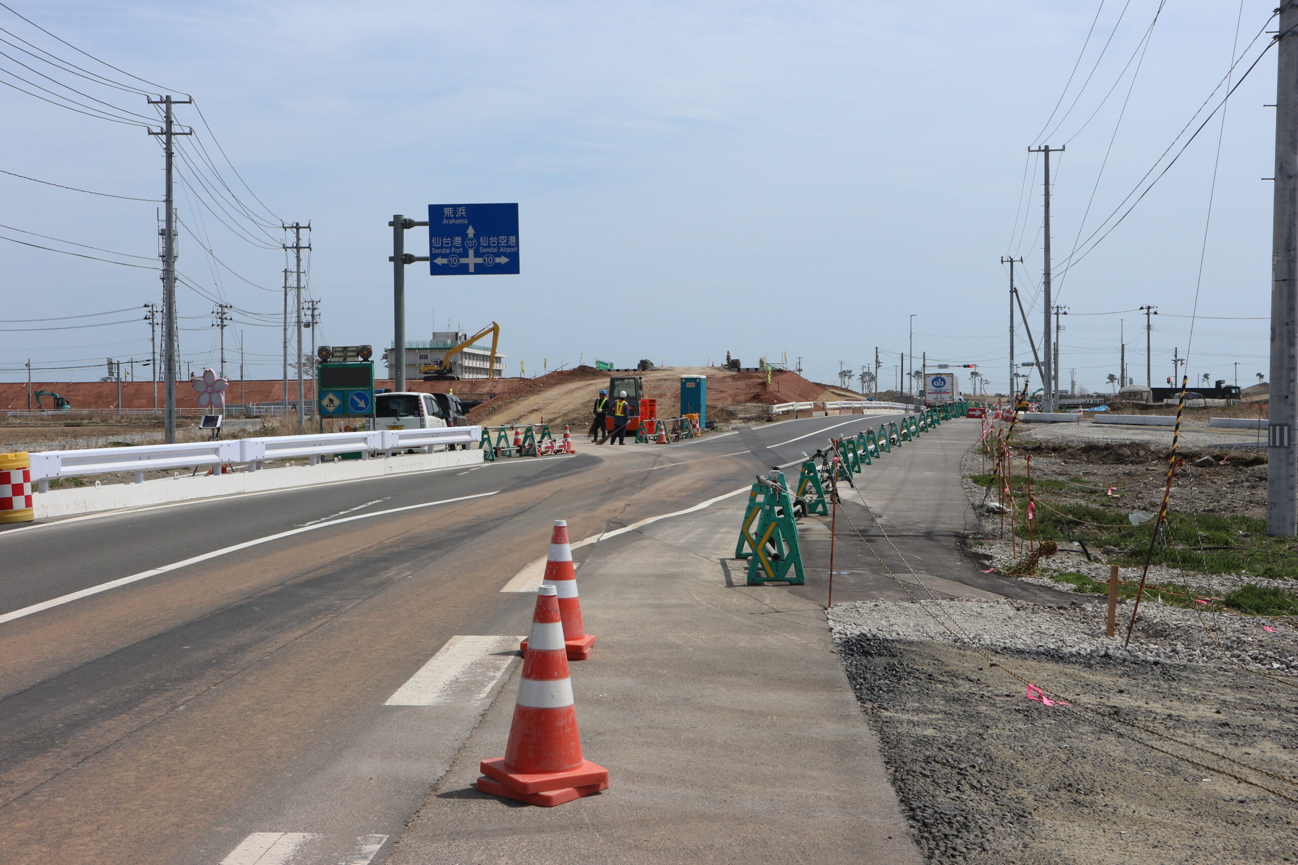
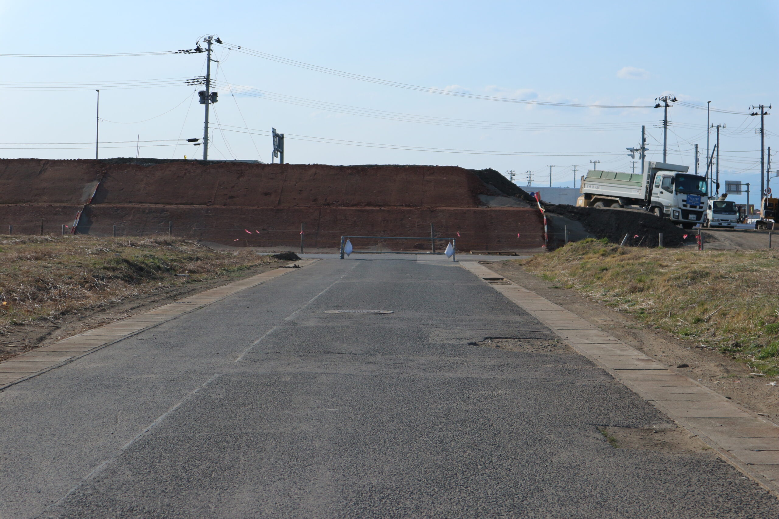
■ 荒浜新 荒浜交差点東側より南方向
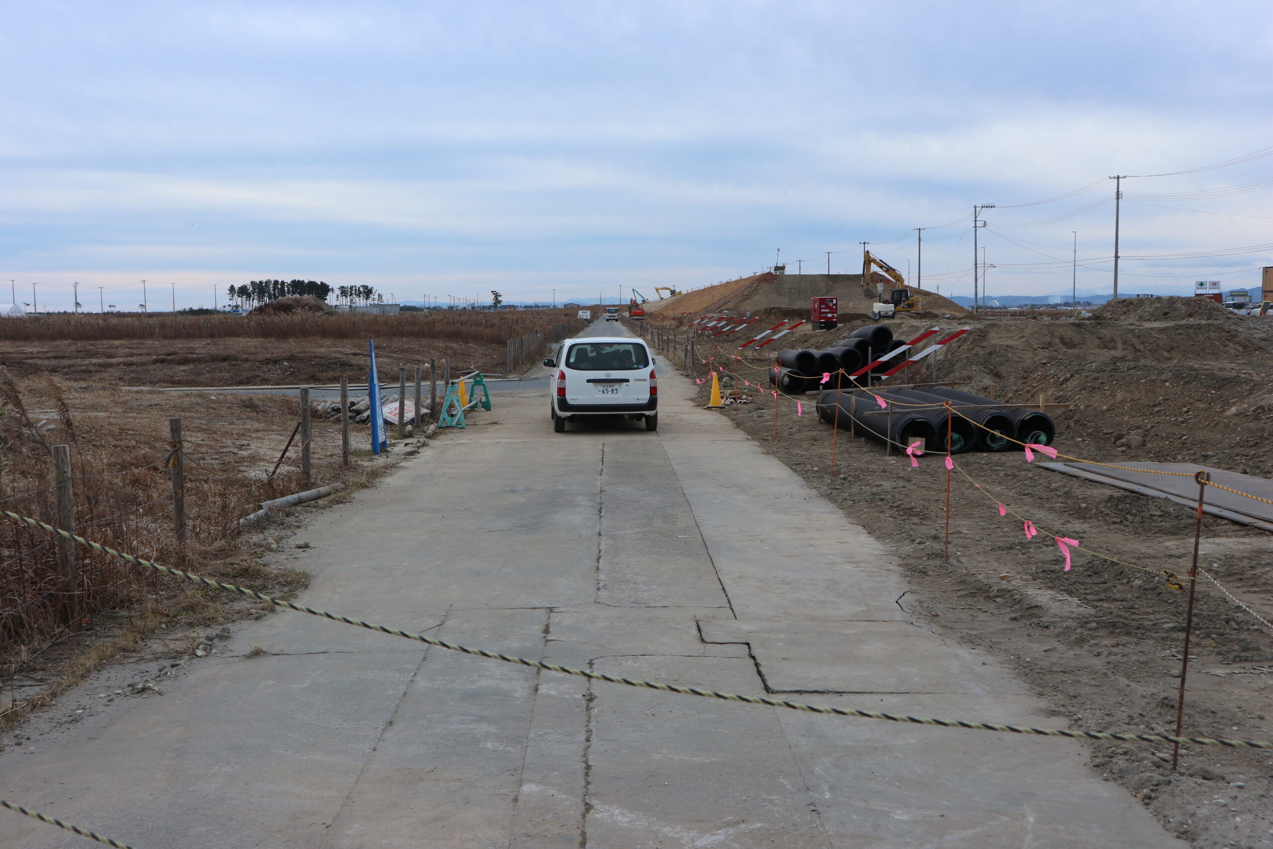
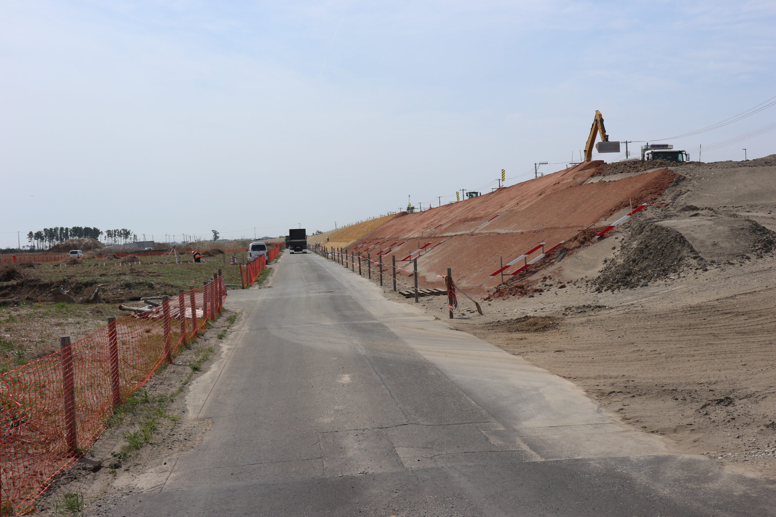
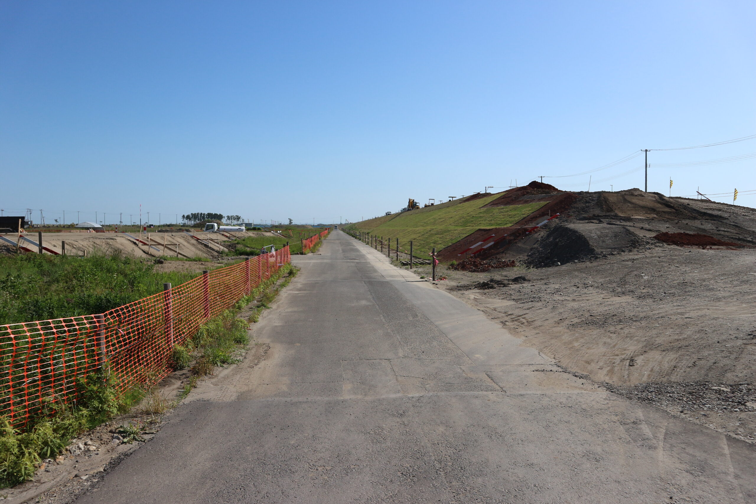
(A)2019年1月10日/(B)2019年4月17日/(C)2019年5月23日
記録:震災遺構仙台市立荒浜小学校
建設中のかさ上げ道路。
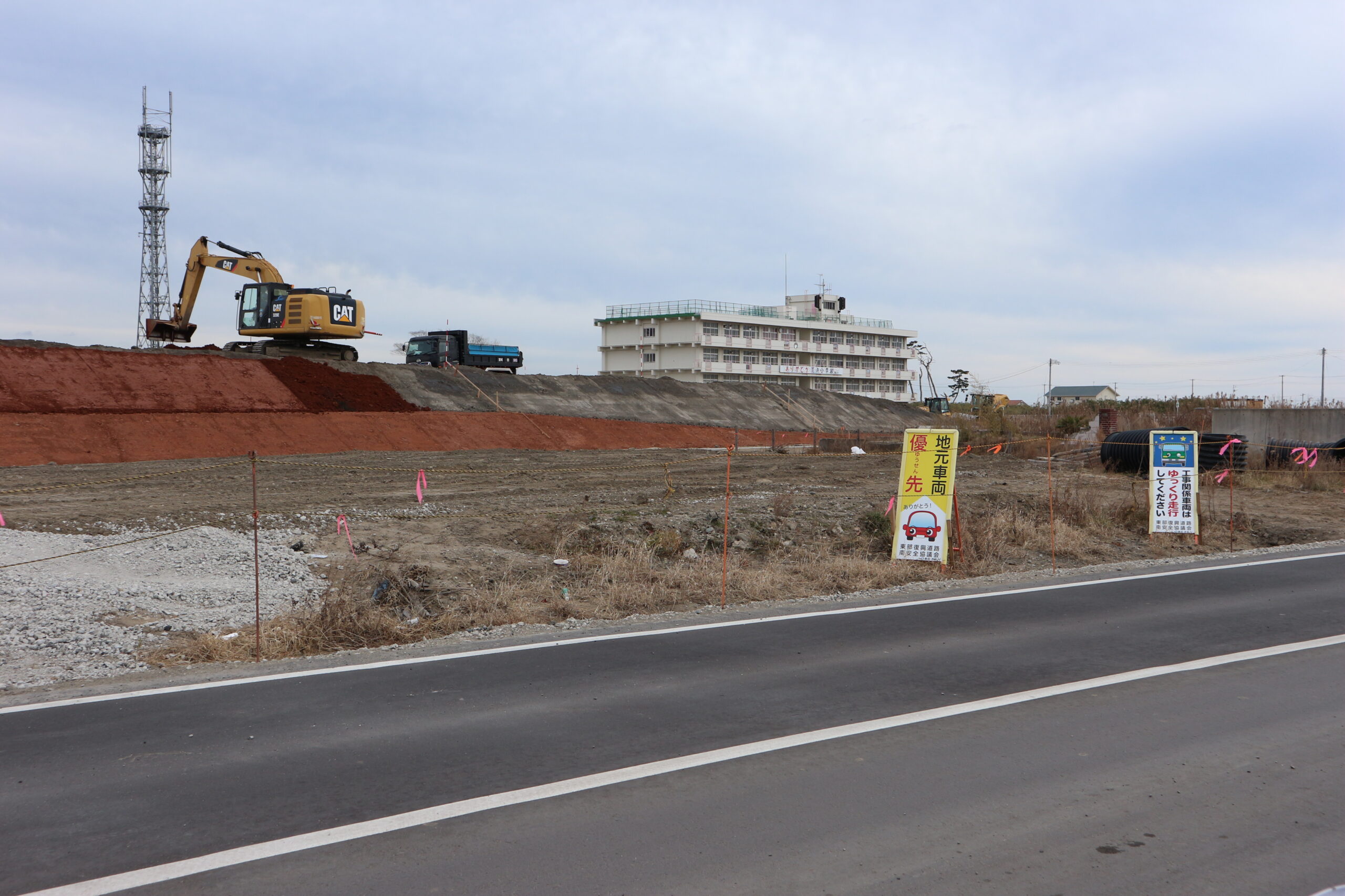
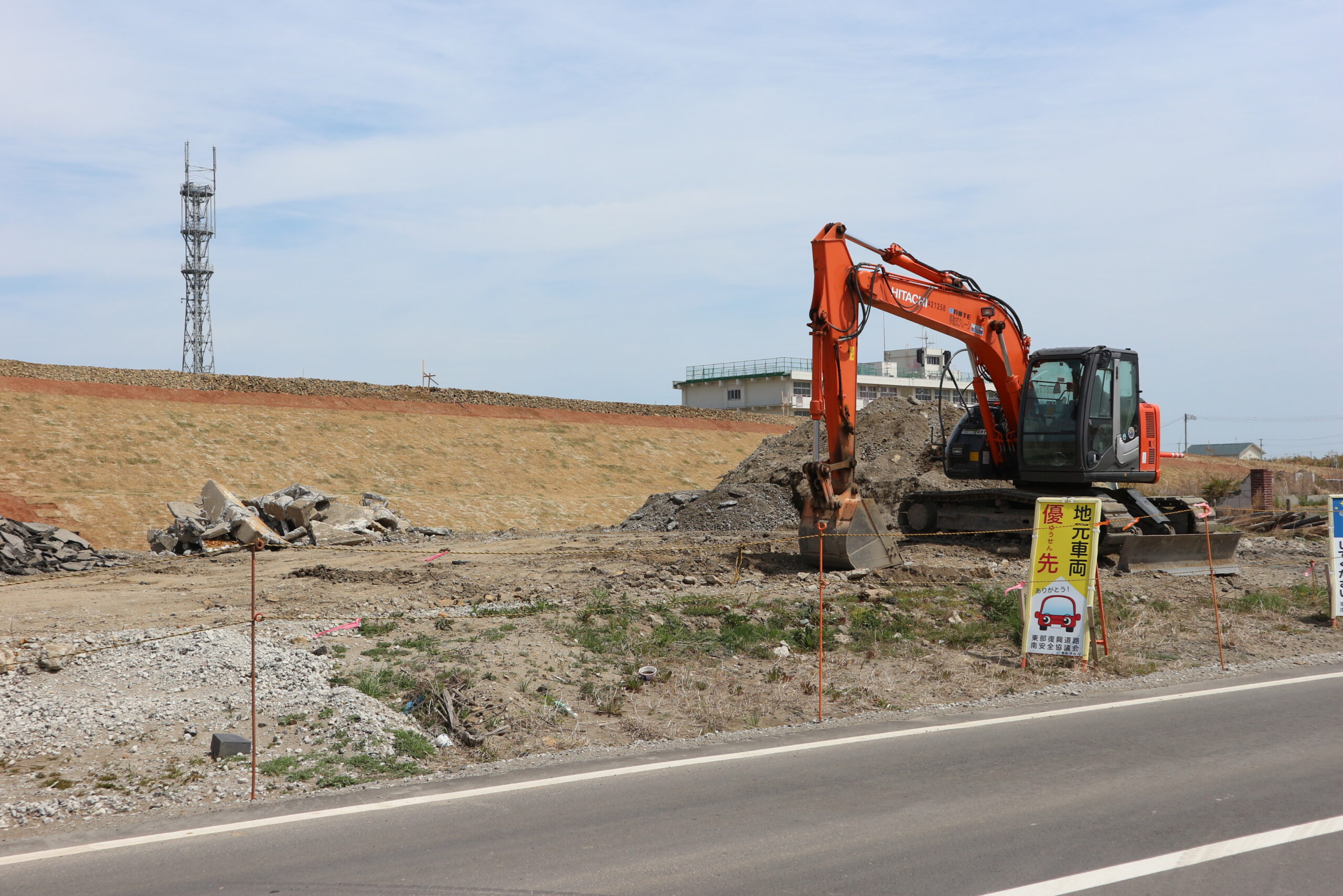
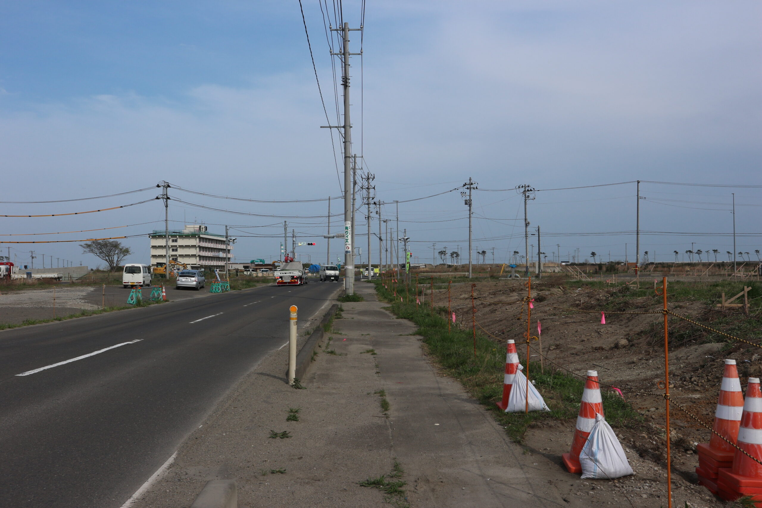
■ 荒浜新 荒浜交差点東側より北方向
(A)2019年1月10日/(B)2019年3月29日/(C)2019年5月23日
記録:震災遺構仙台市立荒浜小学校
荒浜小学校前に建設中のかさ上げ道路。
現在は、写真手前の道路部分が避難の丘となった。
■ 荒浜新 荒浜交差点東側より荒浜小学校を望む
(A)2019年1月10日/(B)2019年4月17日/(C)2019年5月23日
記録:震災遺構仙台市立荒浜小学校
荒浜小学校前に建設中のかさ上げ道路。
現在は、写真手前の道路部分が避難の丘となった。
■ 荒浜交差点西側から荒浜小学校方面を望む
(A)2018年4月27日/(B)2019年4月17日/(C)2019年11月8日
記録:震災遺構仙台市立荒浜小学校
以前は遠くからでも眺めることのできた荒浜小学校。
かさ上げ道路の工事が進むとともに、道路に隠れて見えなくなった。
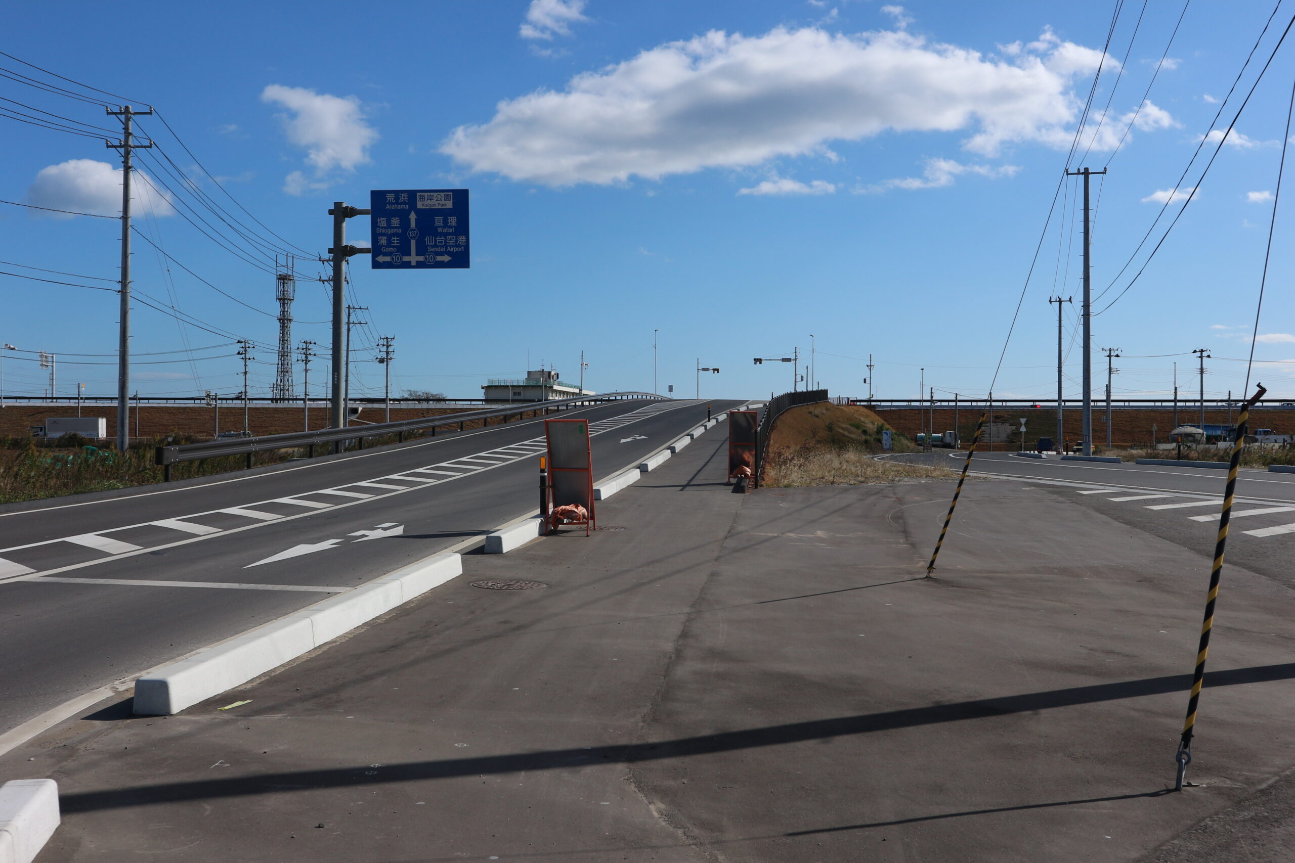
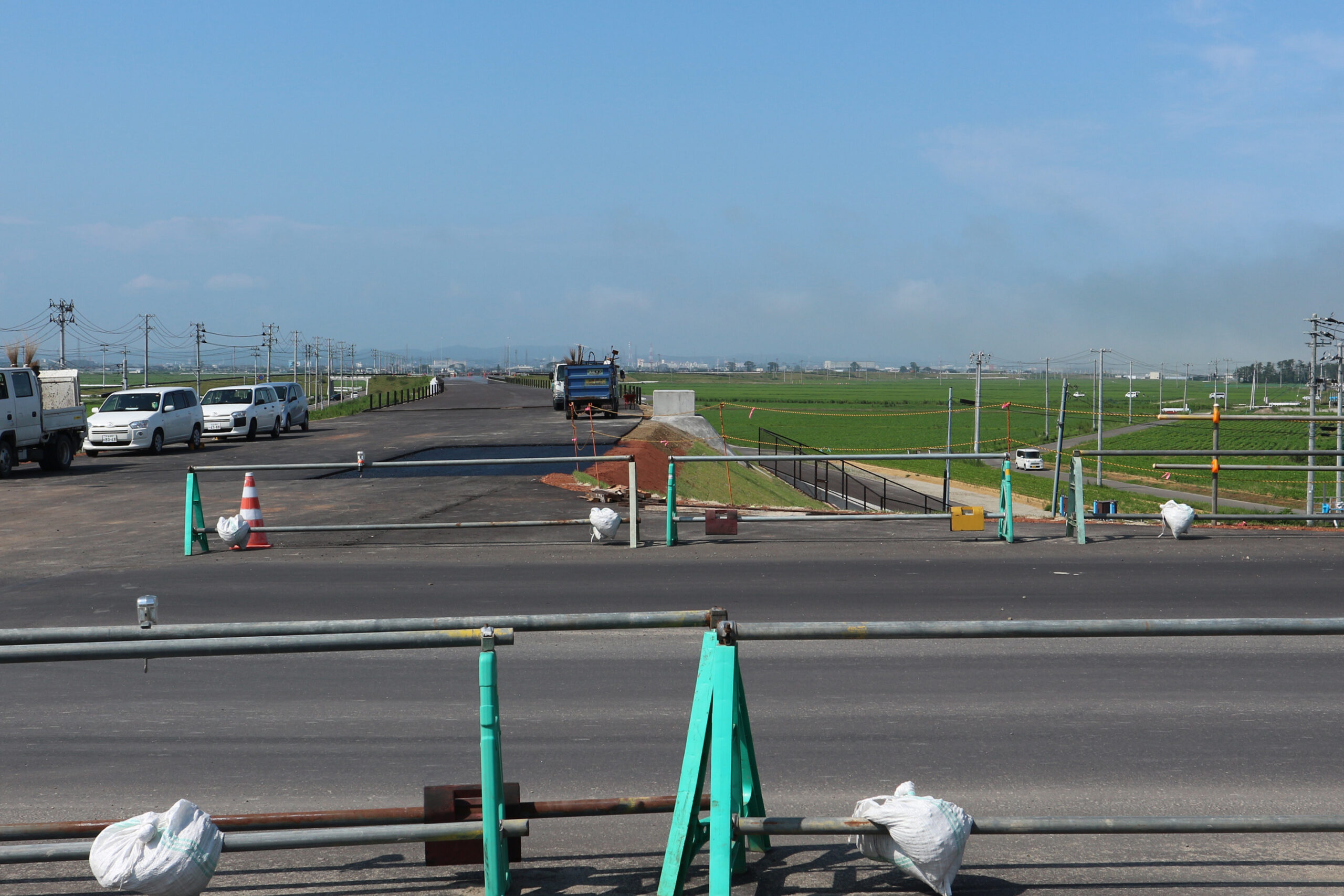
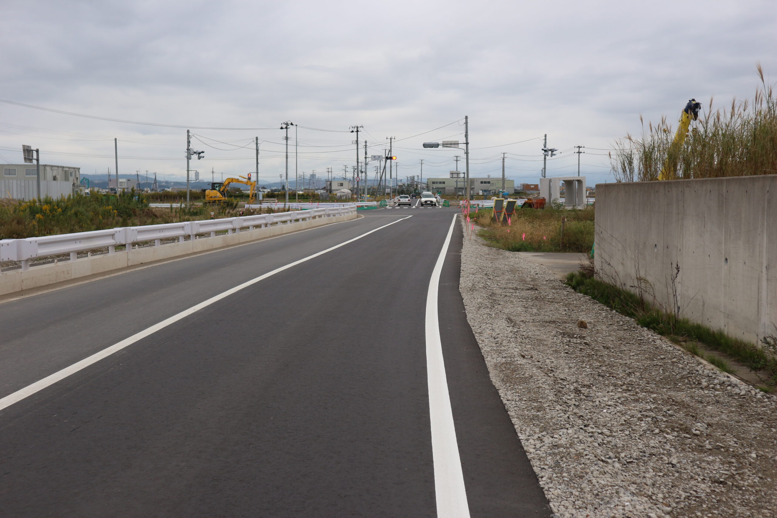
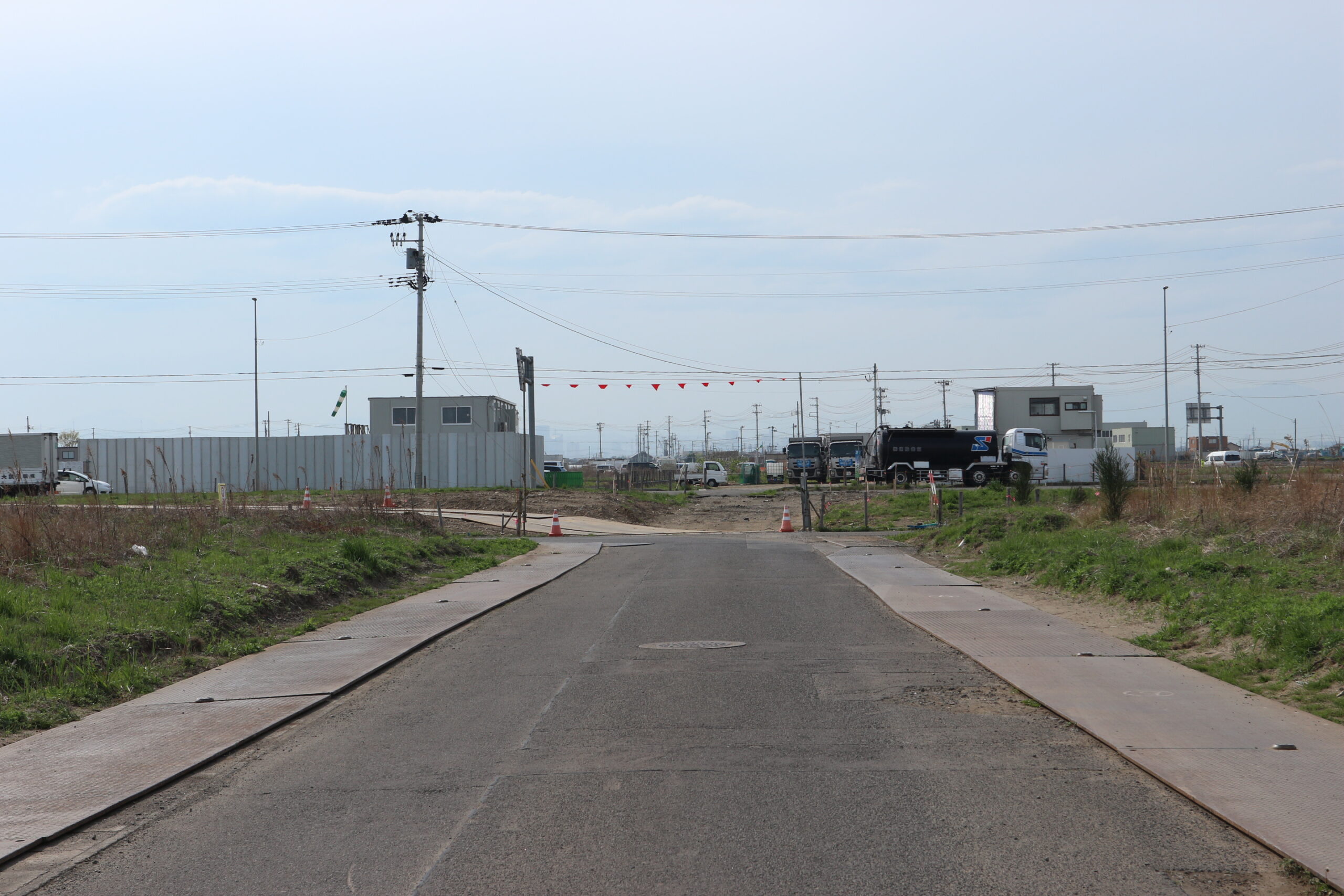
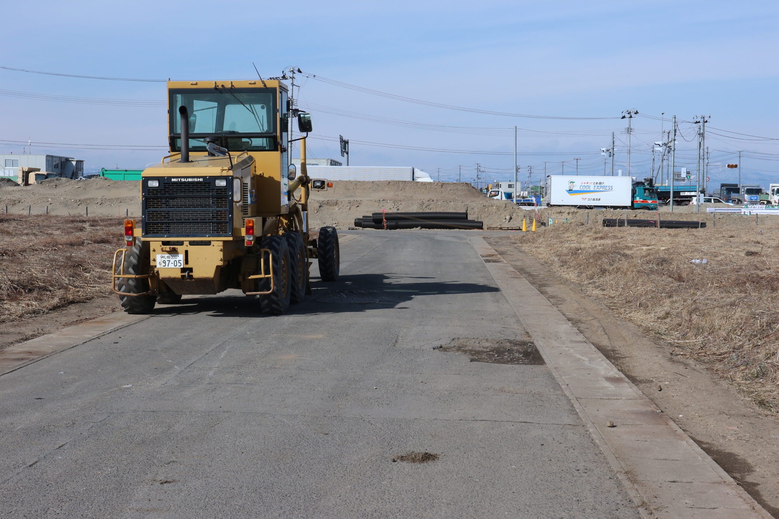
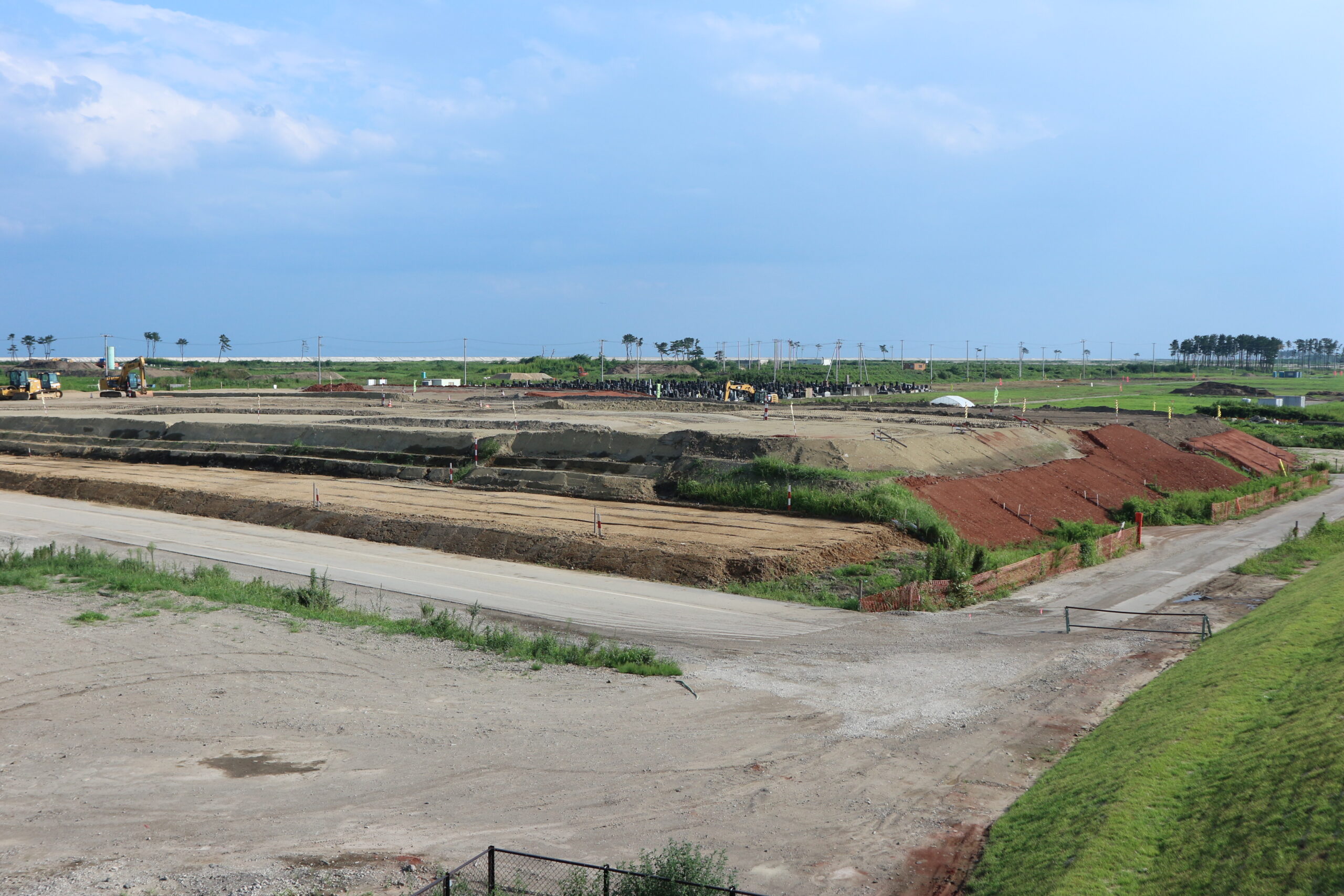
■ 荒浜新 かさ上げ道路(東部復興道路)上より南方向
(A)2019年7月25日/(B)2019年11月8日/(C)2019年12月28日
記録:震災遺構仙台市立荒浜小学校
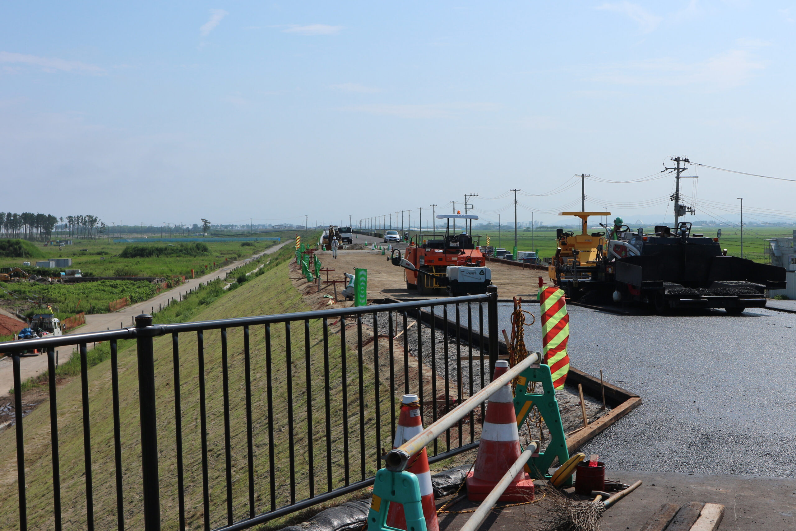
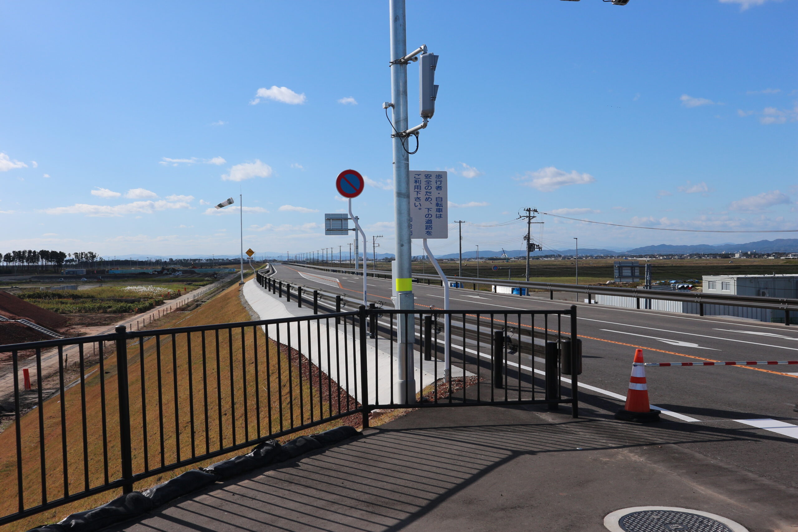
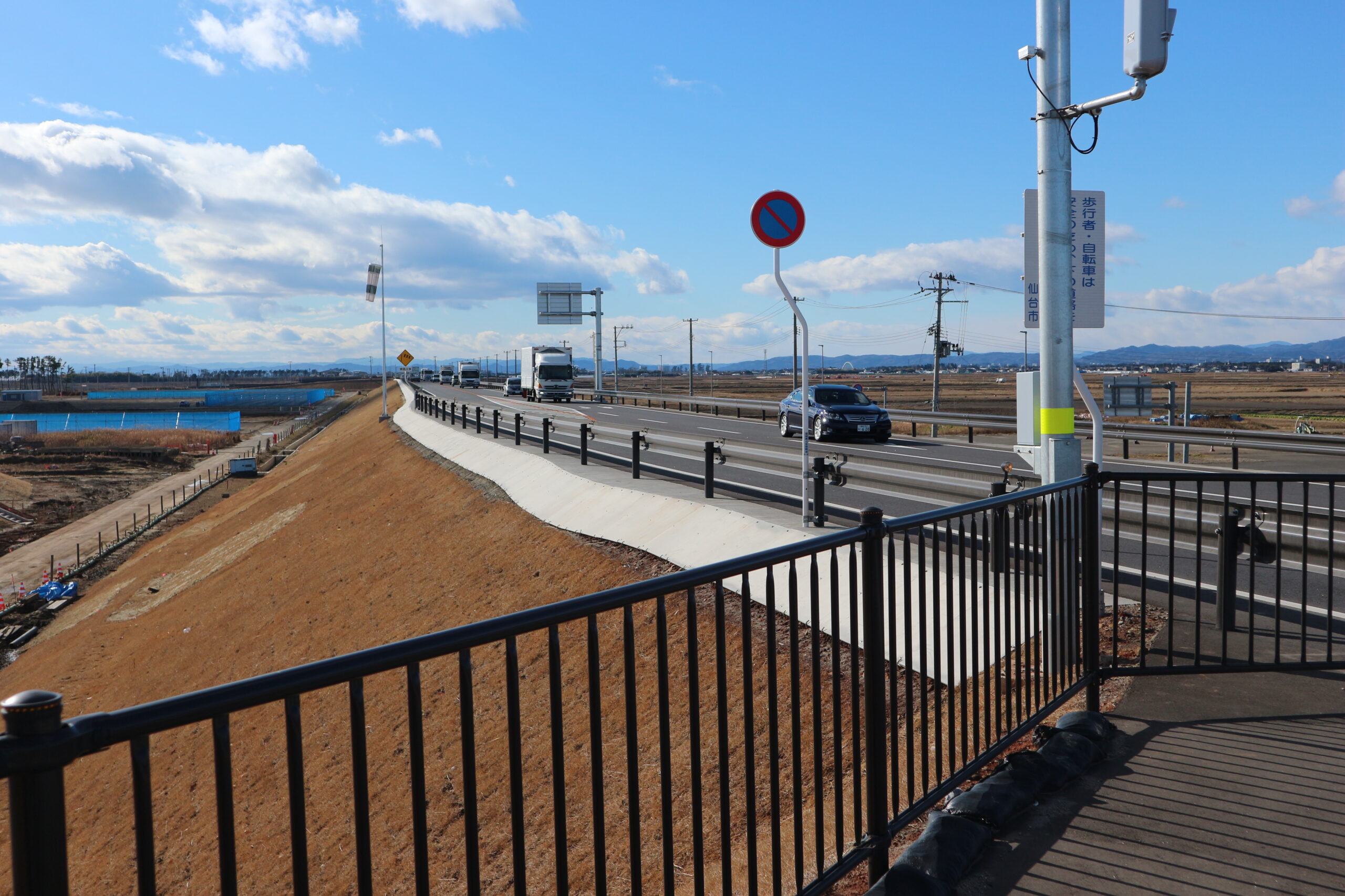
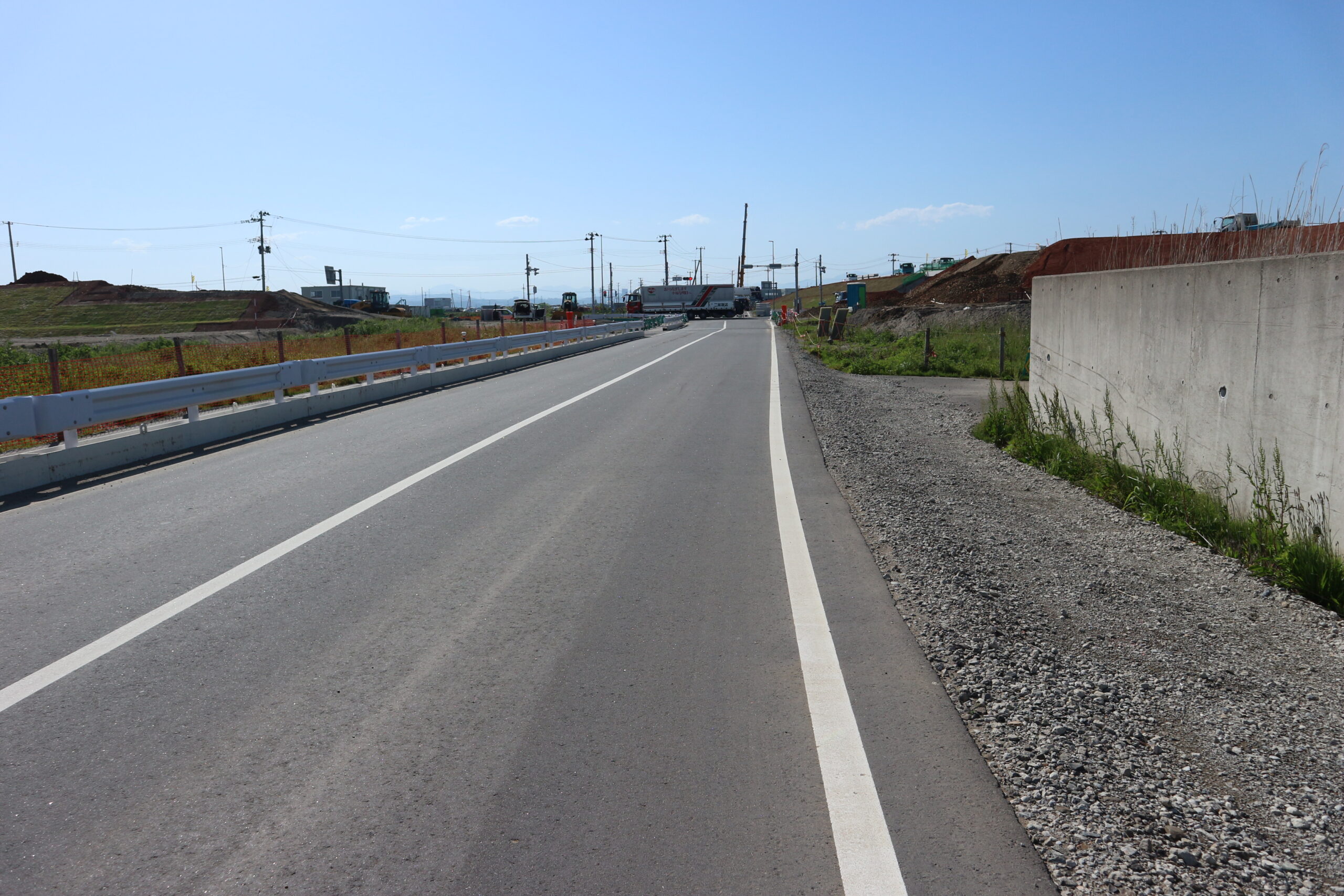
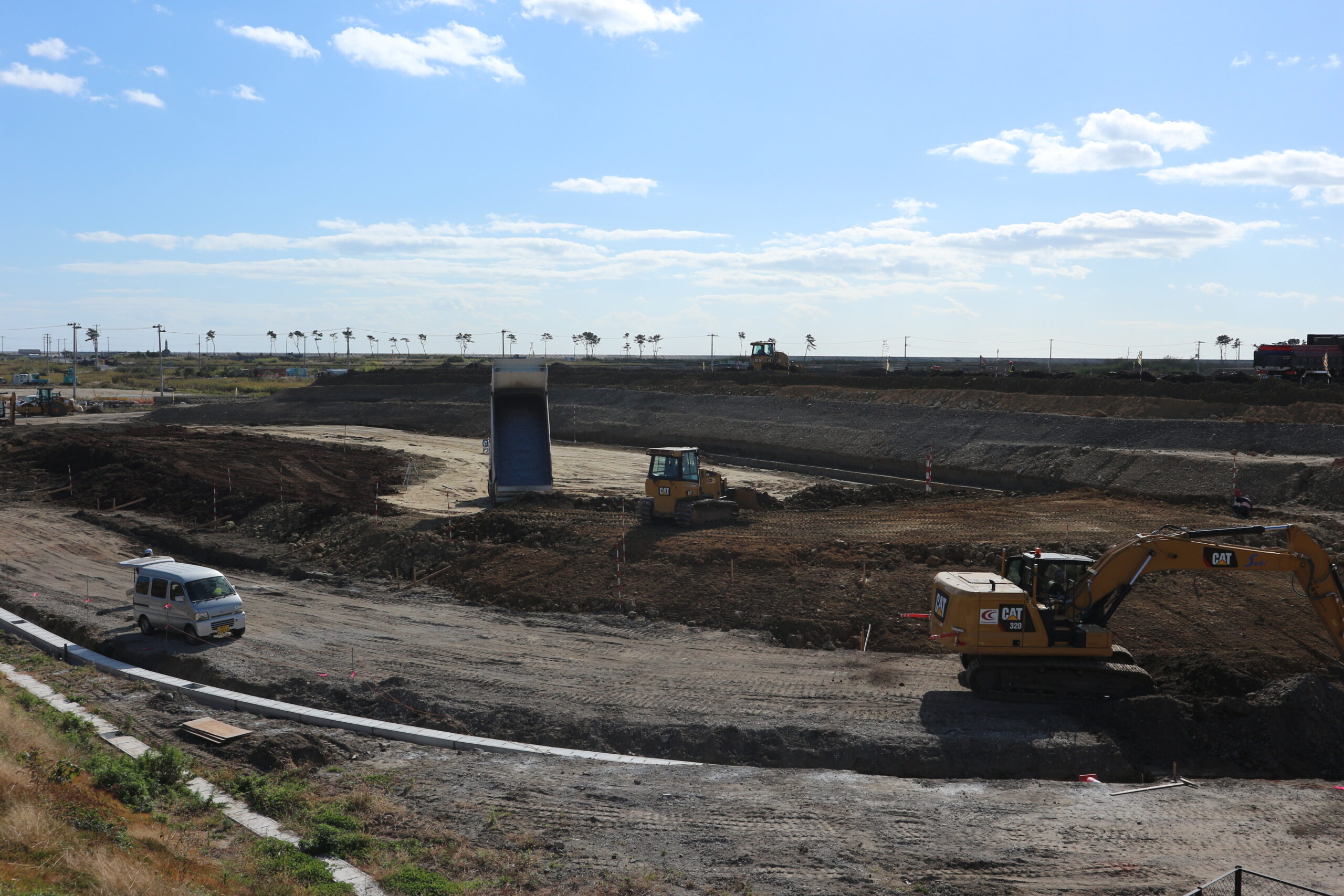
■ 荒浜新 かさ上げ道路(東部復興道路)上より北方向

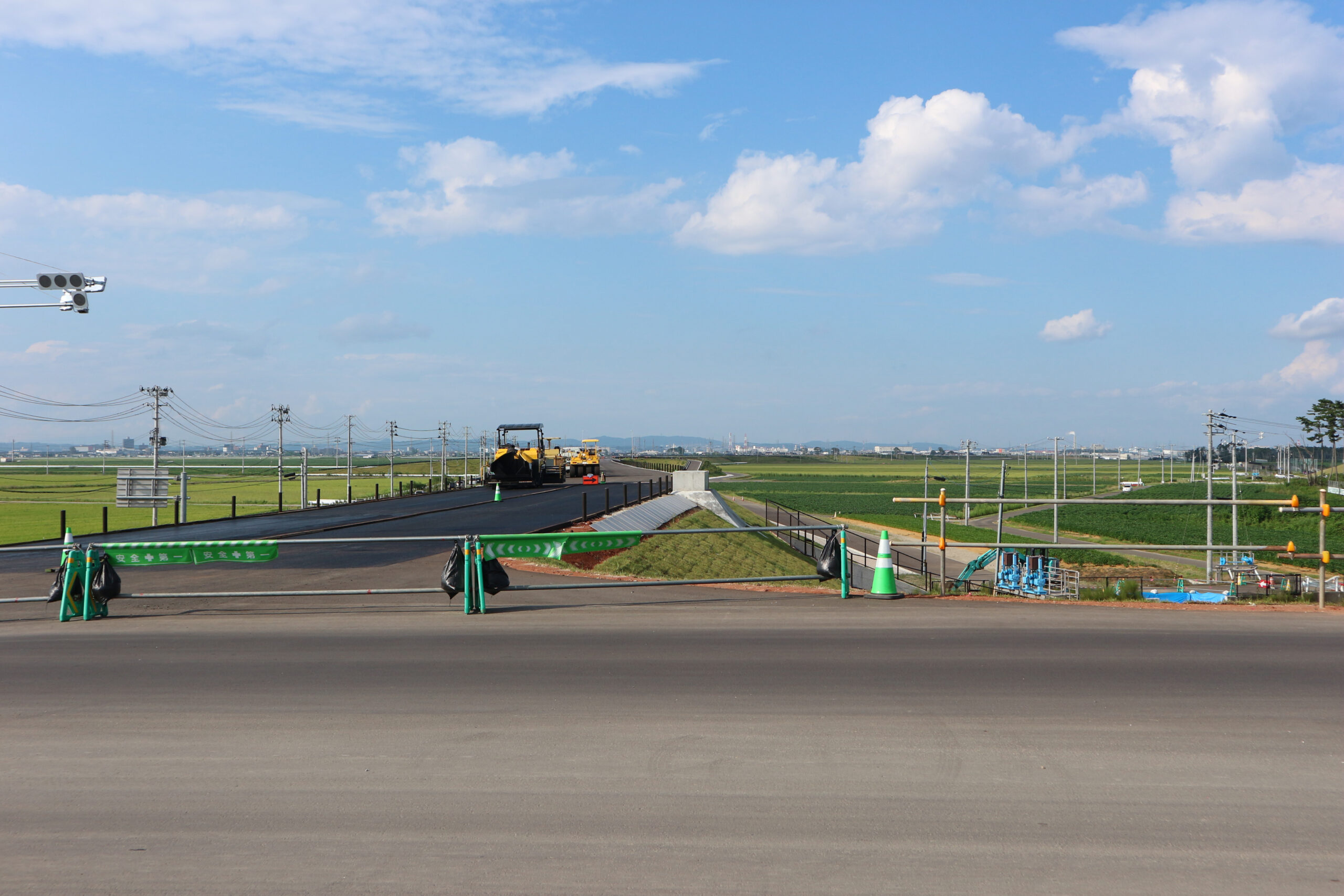
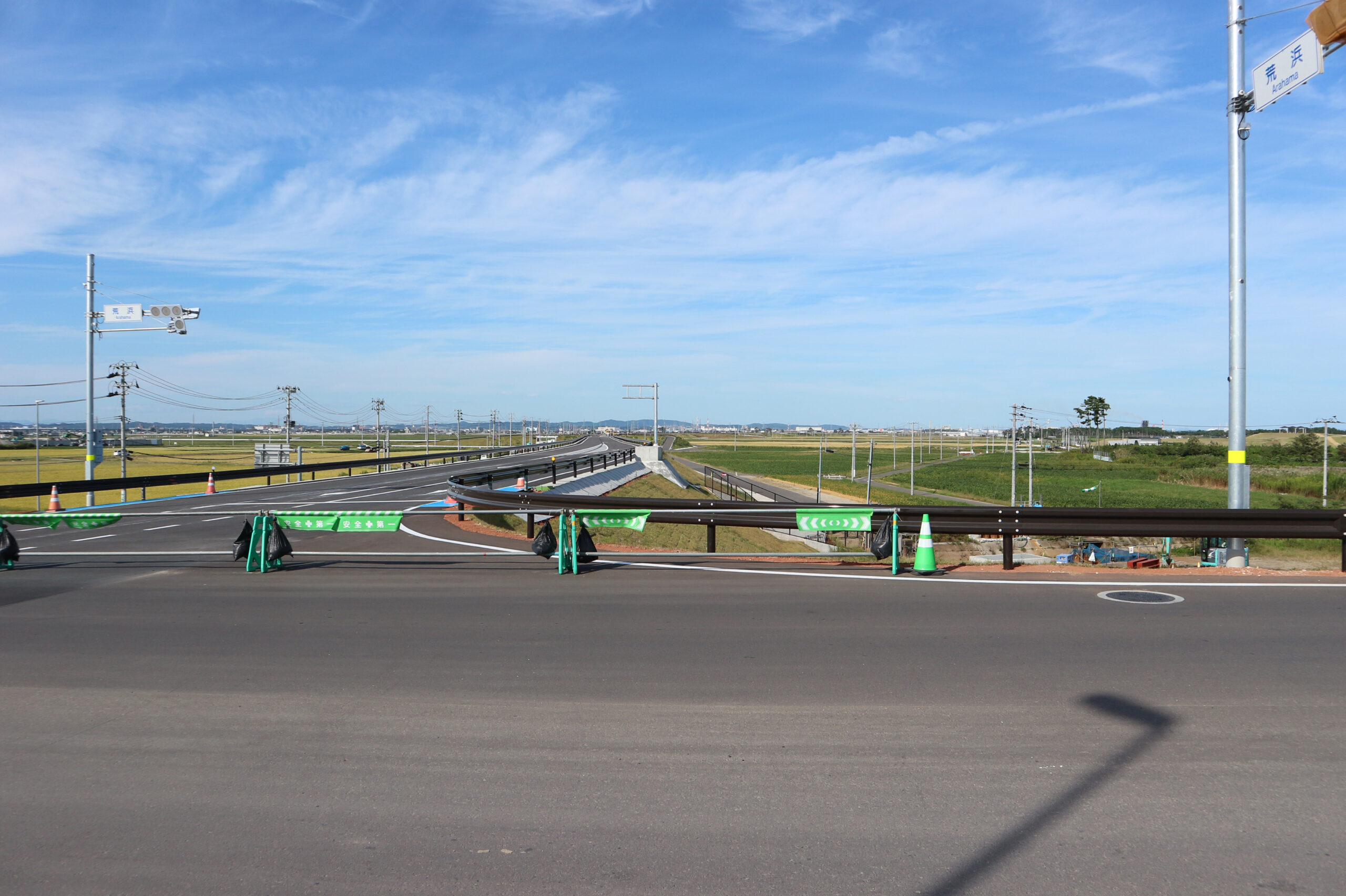
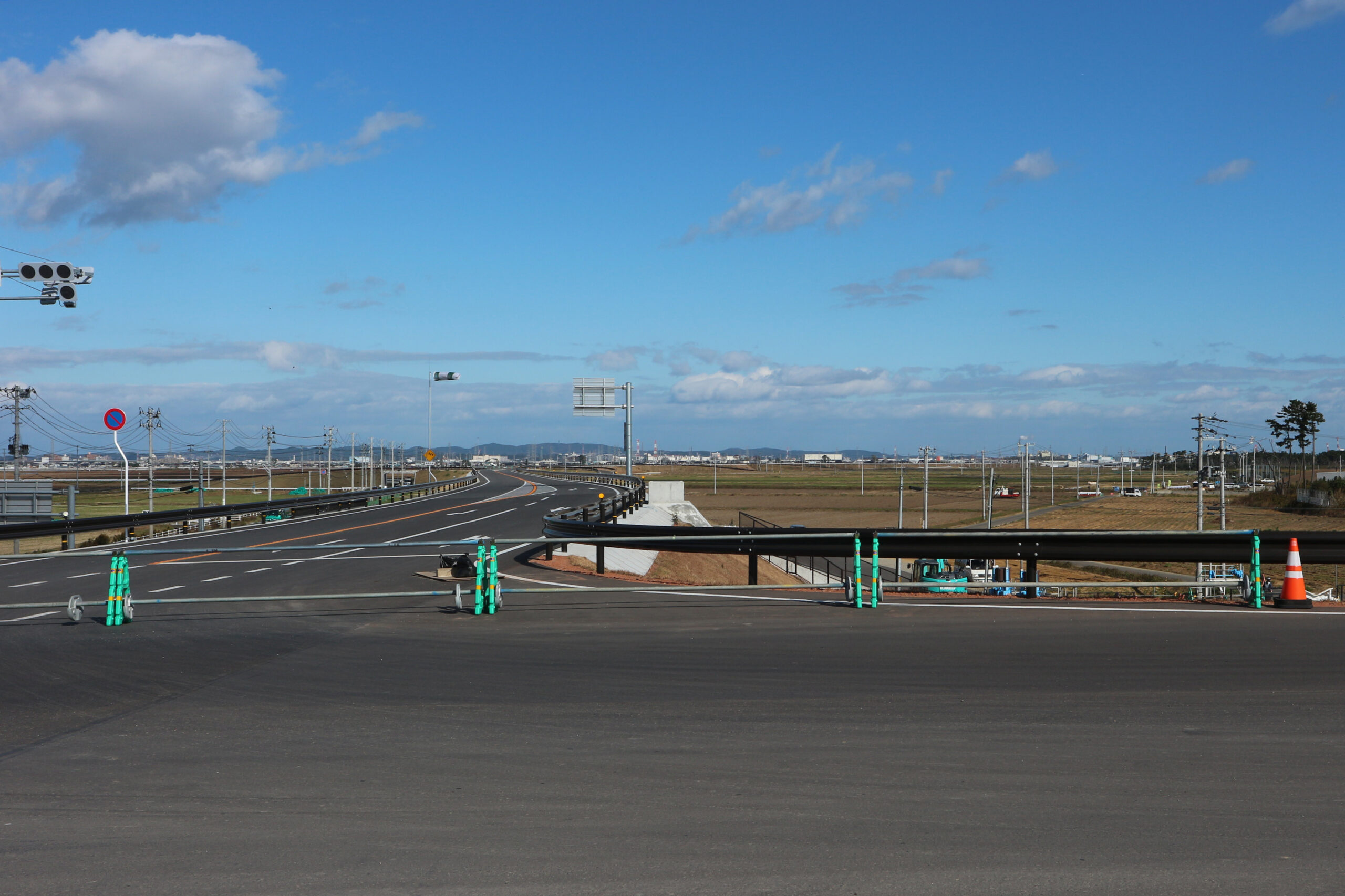
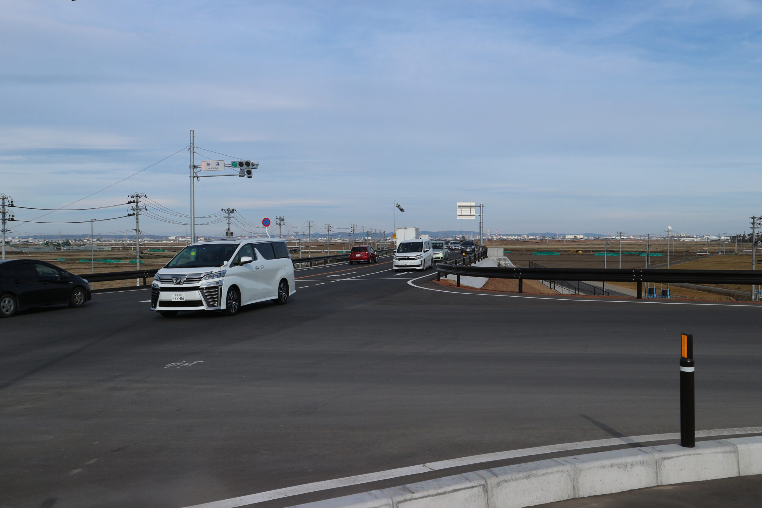
(A)2019年6月27日/(B)2019年7月25日/(C)2019年8月25日/(D)2019年9月26日/(E)2019年11月8日/(F)2019年12月1日/(F)2019年12月28日
記録:震災遺構仙台市立荒浜小学校
2019年11月30日、かさ上げ道路(東部復興道路)が開通した。
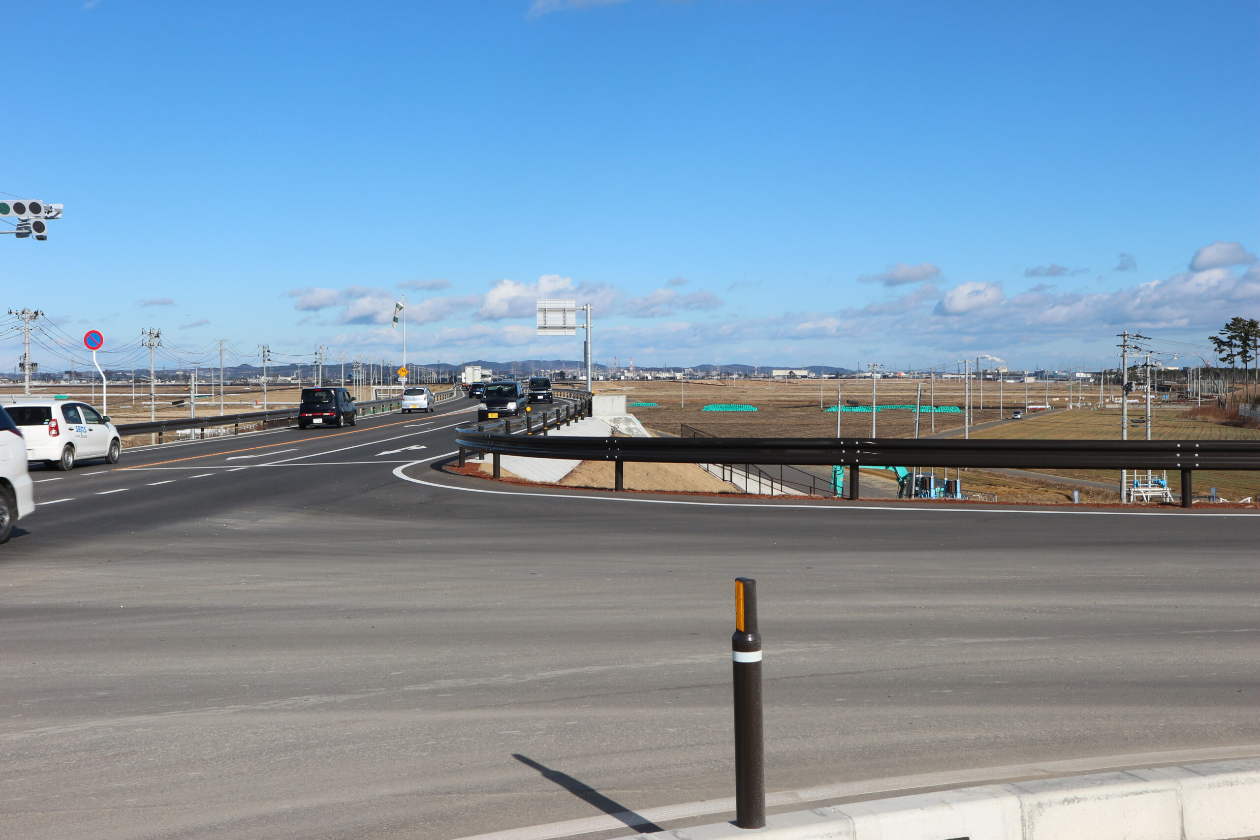
■ 荒浜新 かさ上げ道路(東部復興道路)上より北東方向(1)

(A)2020年4月24日/(B)2020年9月27日/(C)2021年7月28日/(D)2021年10月28日
記録:震災遺構仙台市立荒浜小学校
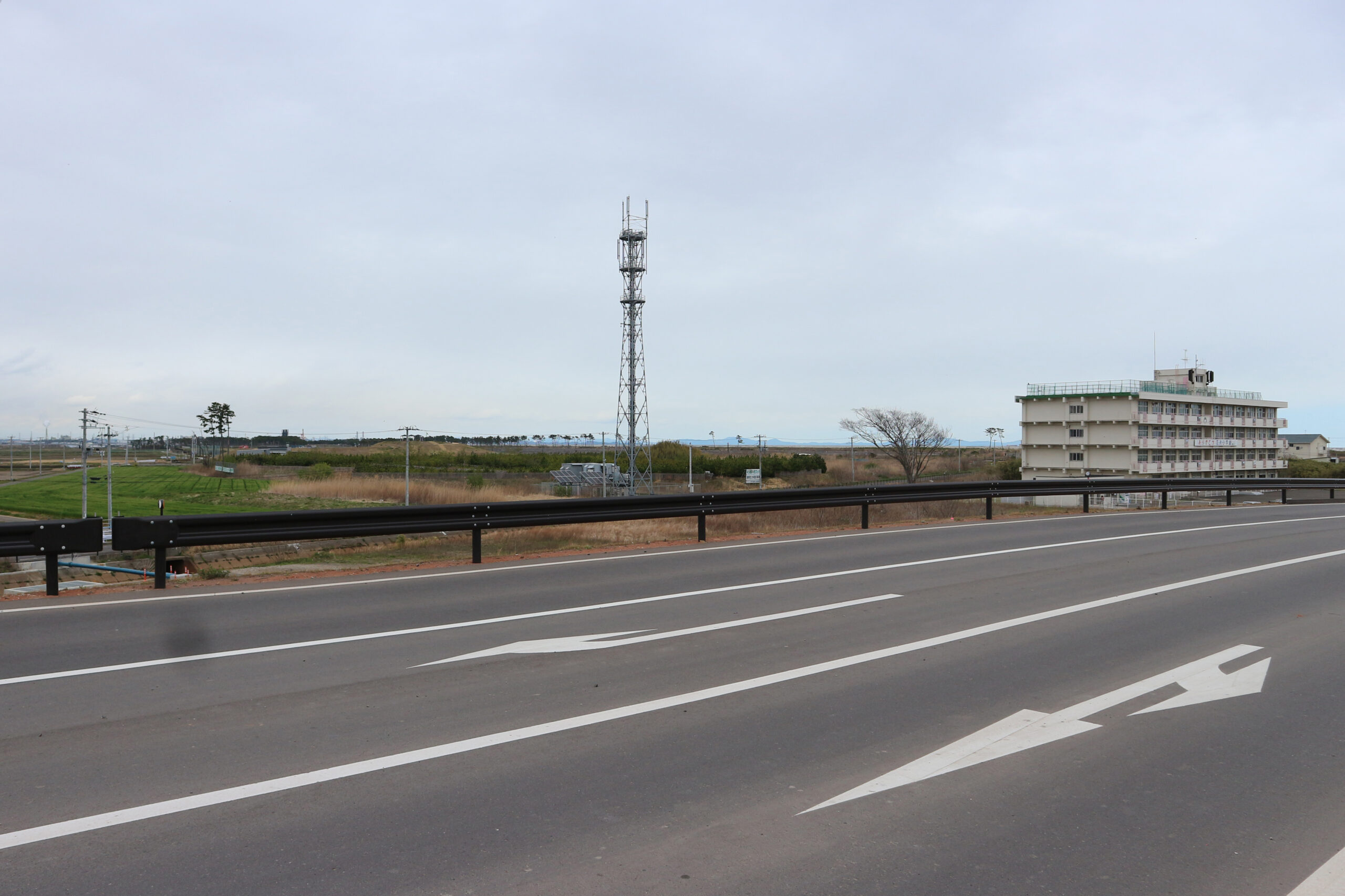
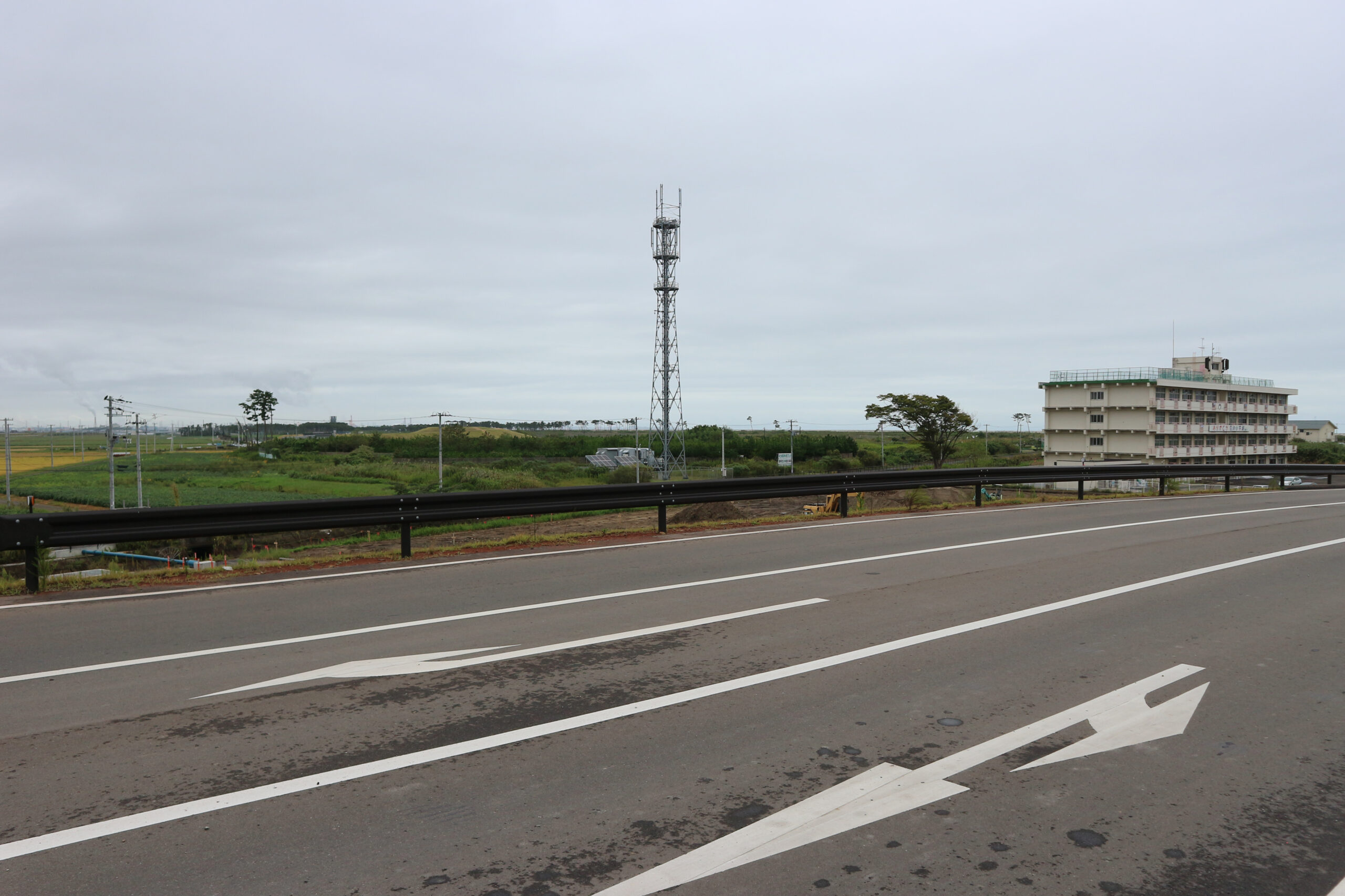
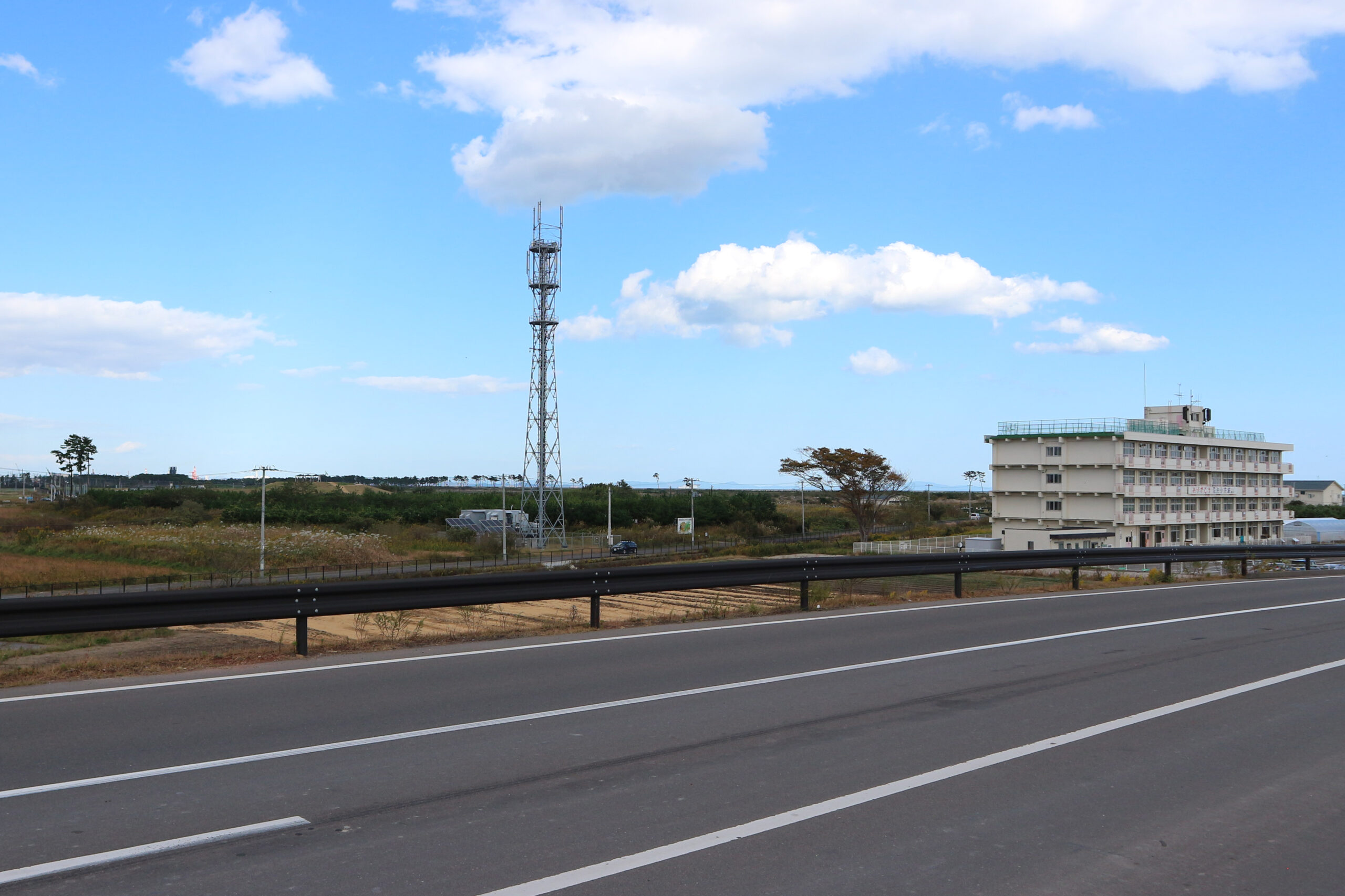
■ 荒浜新 かさ上げ道路(東部復興道路)上より北東方向(2)
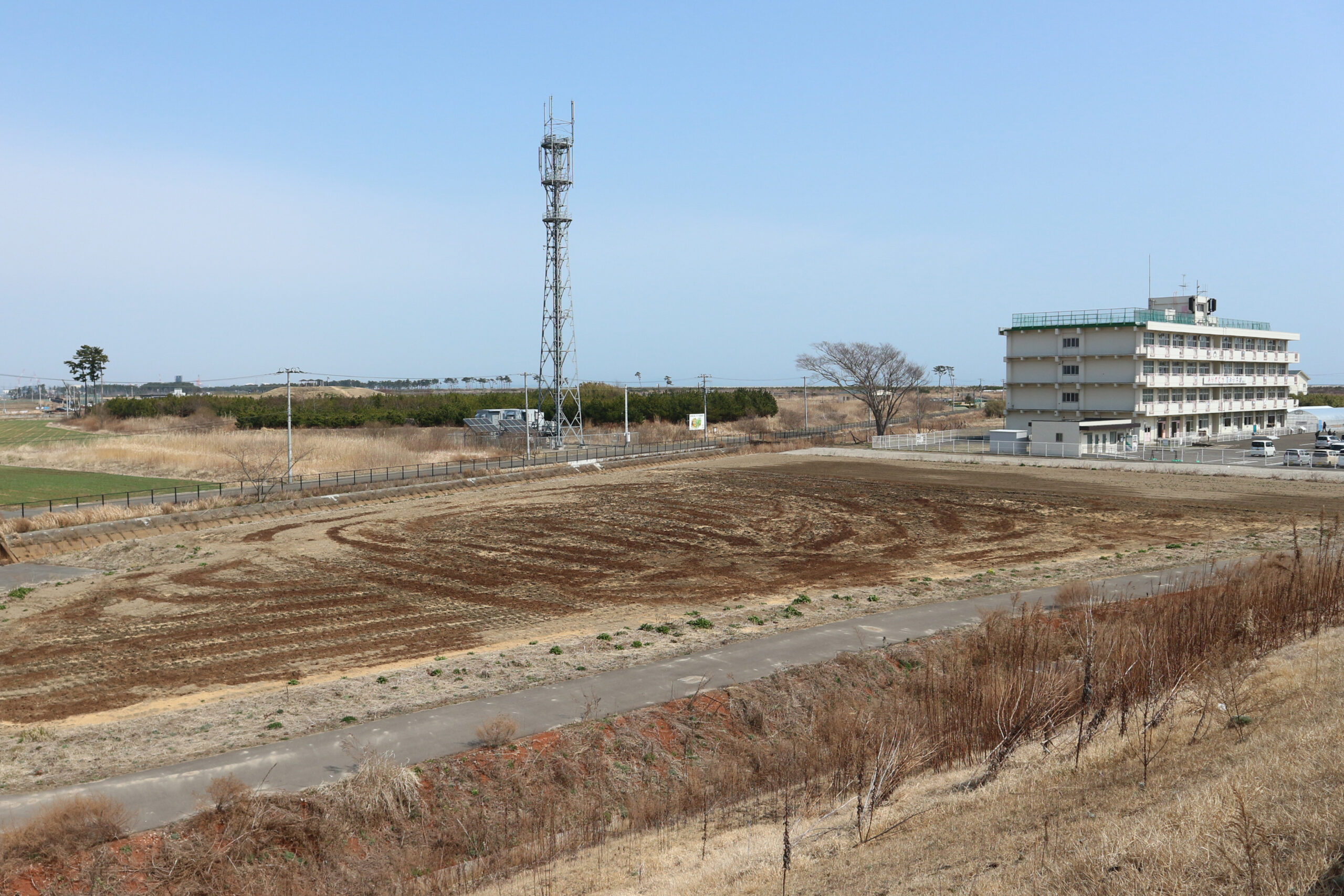
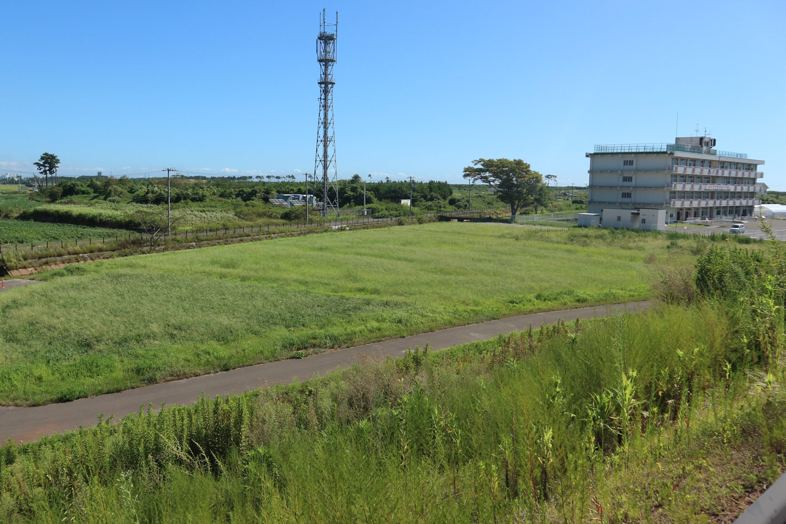
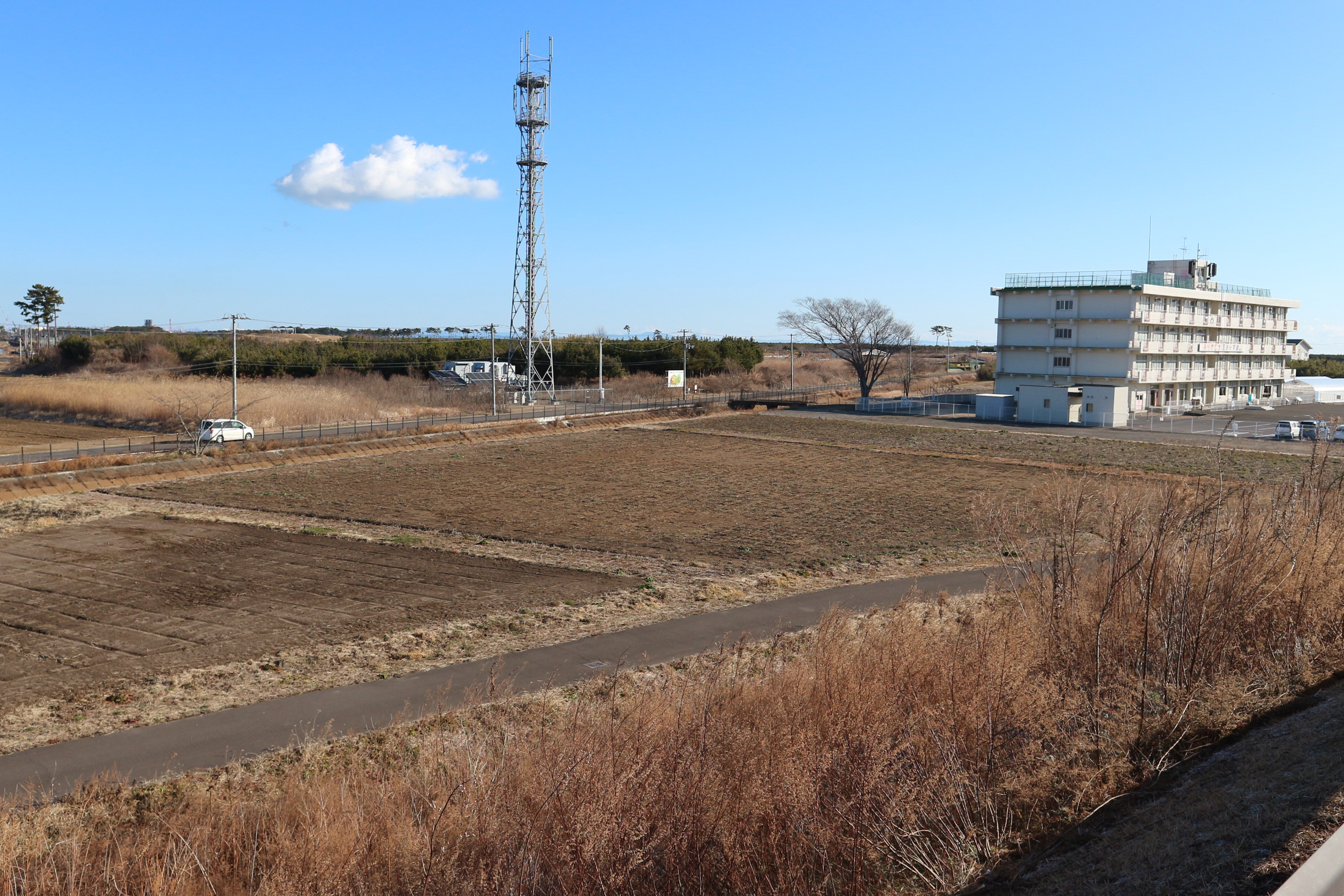
(A)2022年3月25日/(B)2023年8月24日/(C)2024年1月28日
記録:震災遺構仙台市立荒浜小学校
かさ上げ道路と荒浜小学校の間には、2021年より跡地利活用事業を開始した「平松農園」(2024年より「仙台あぐりる農園」と統合)の農地が広がる。
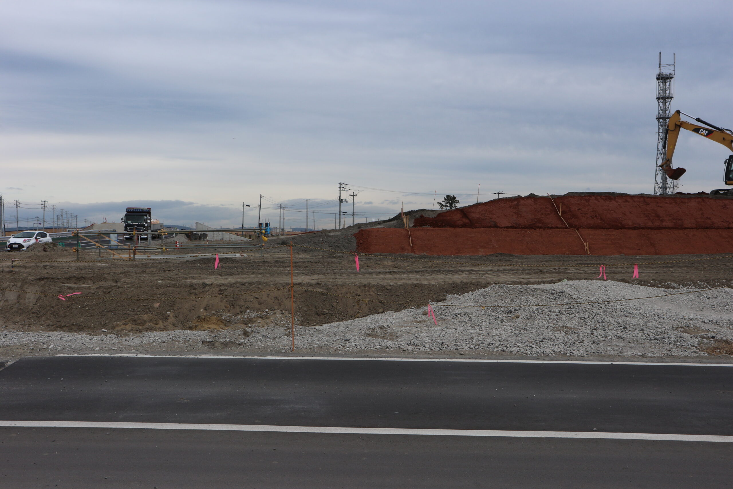
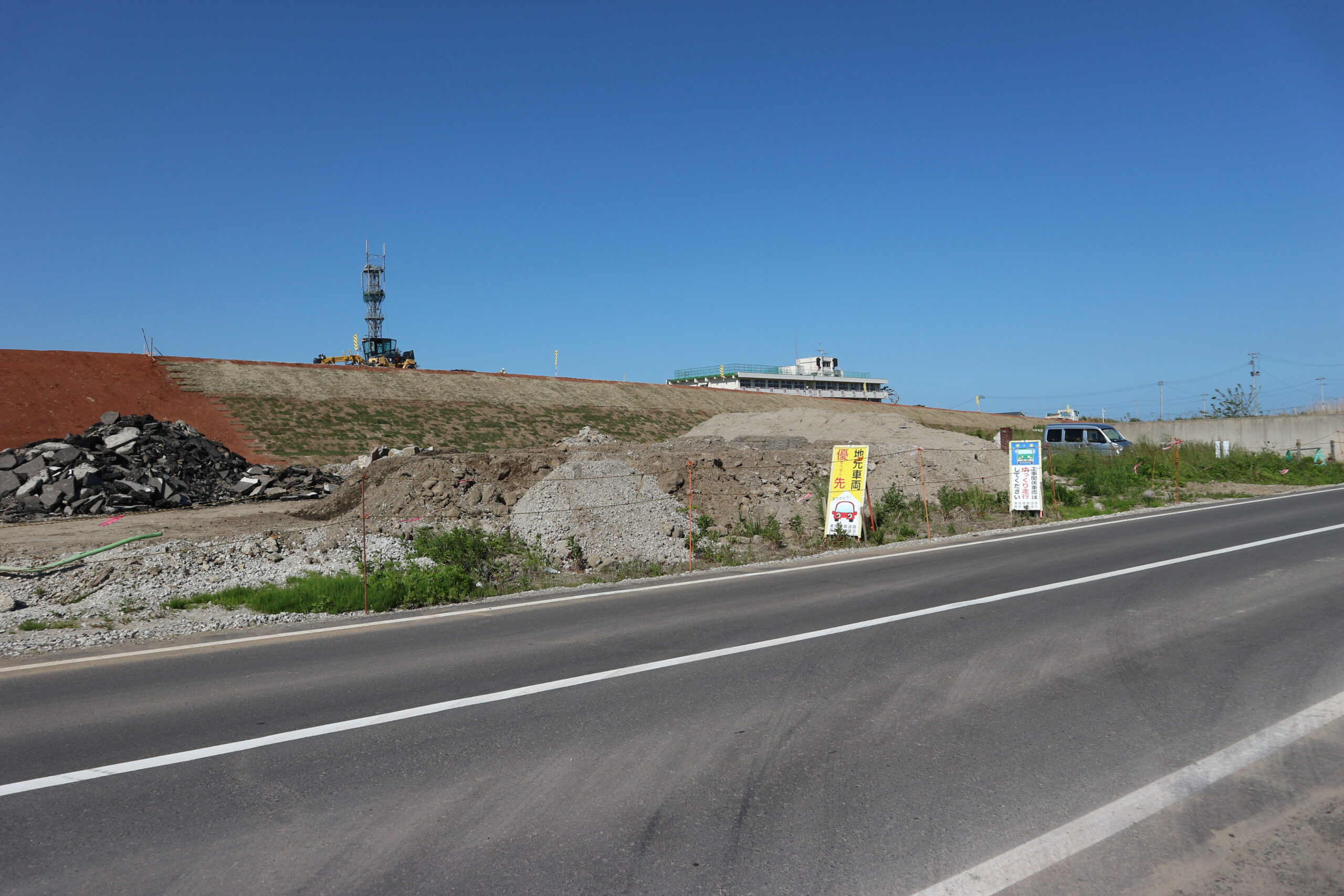
■ 荒浜新 荒浜交差点付近(1)
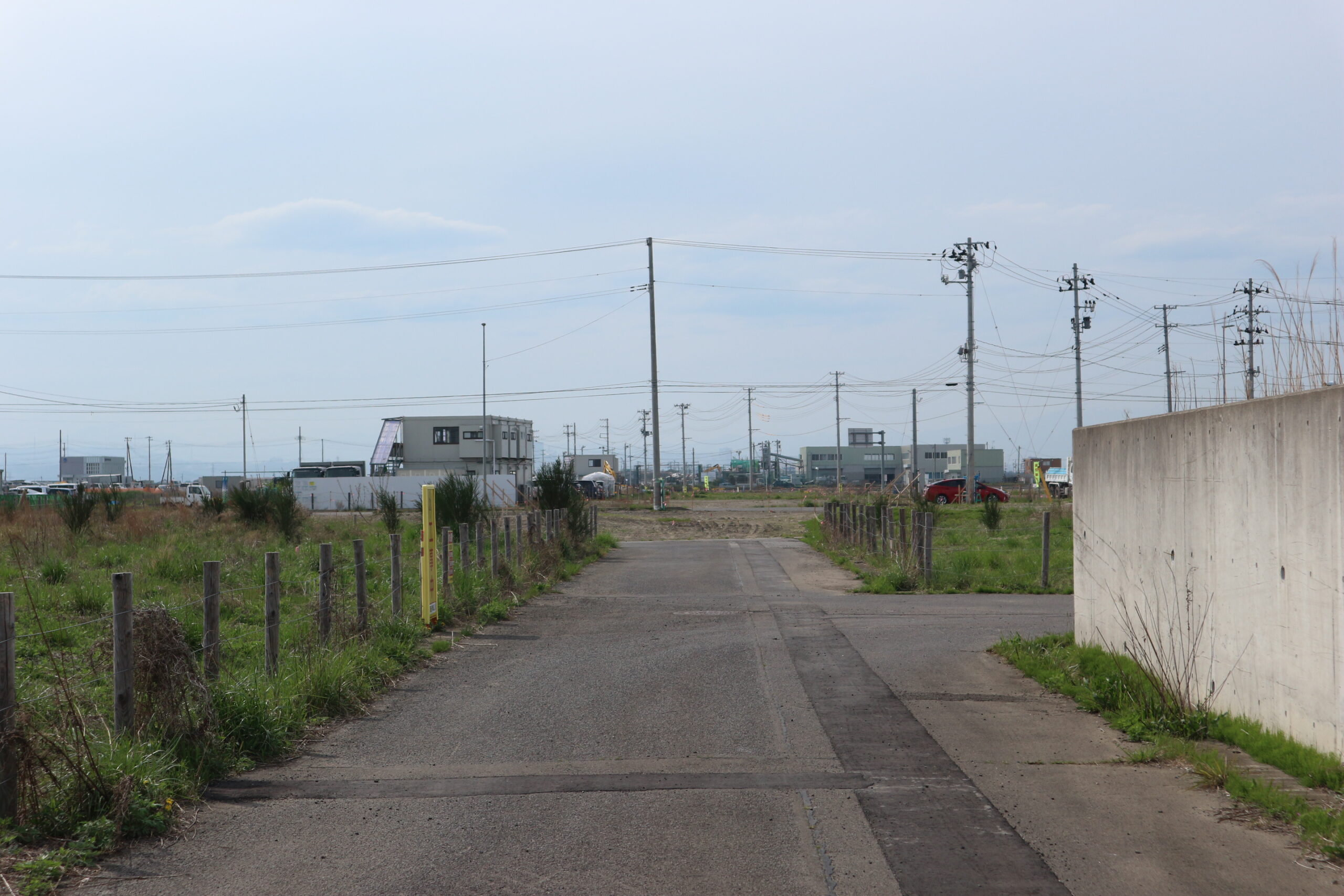
(A)2018年4月27日/(B)2018年10月14日/(C)2019年5月23日
記録:震災遺構仙台市立荒浜小学校
現在このあたりは避難の丘になっている。
■ 荒浜新 荒浜交差点付近(2)
(A)2018年4月27日/(B)2019年2月7日/(C)2019年3月29日
記録:震災遺構仙台市立荒浜小学校
現在このあたりは避難の丘になっている。
■ 荒浜新 かさ上げ道路(東部復興道路)上より墓地方面を望む
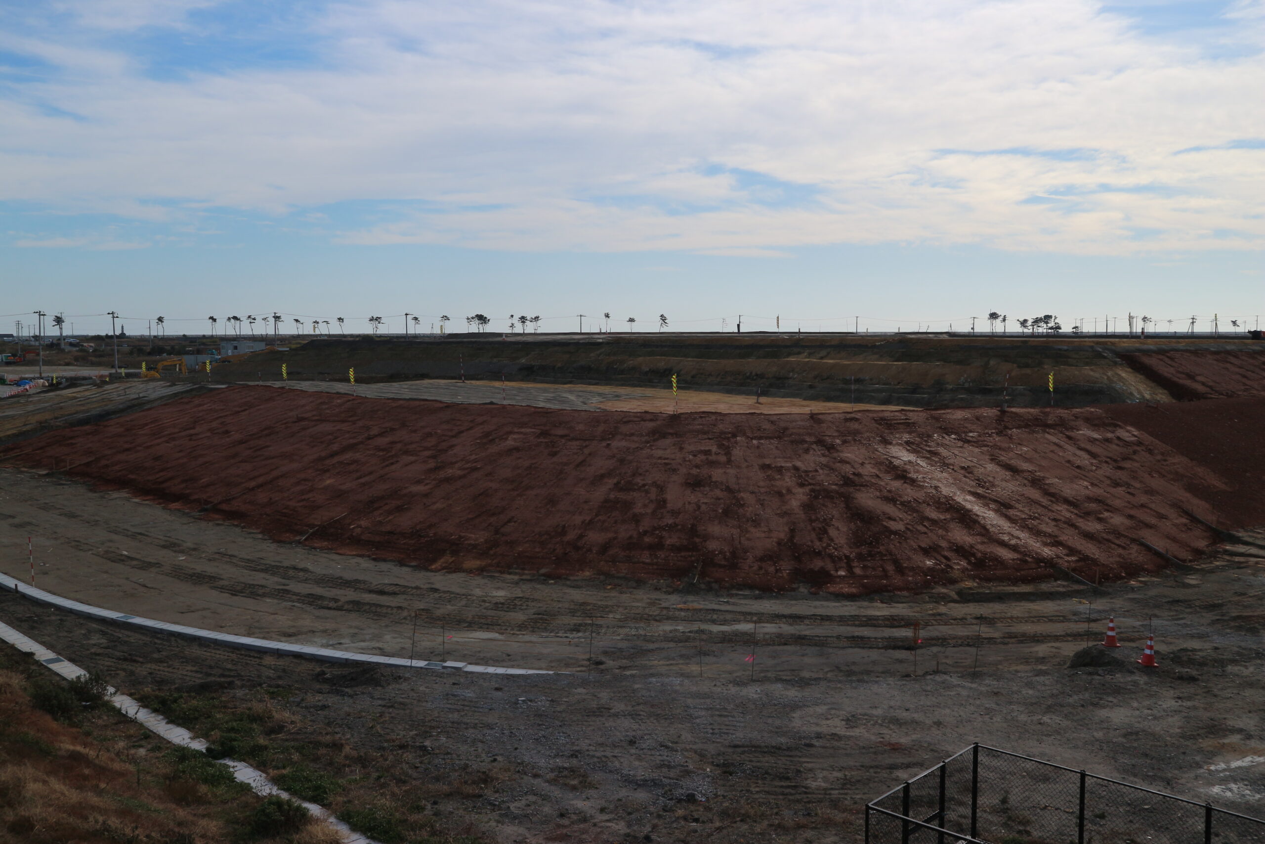
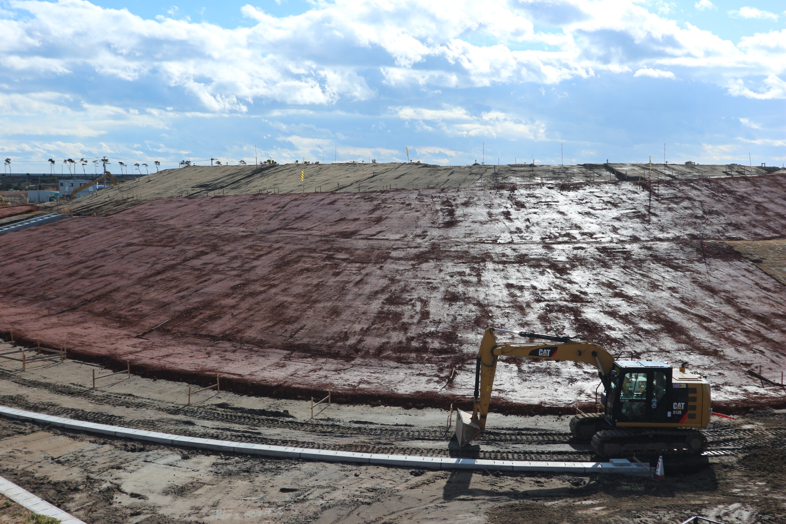
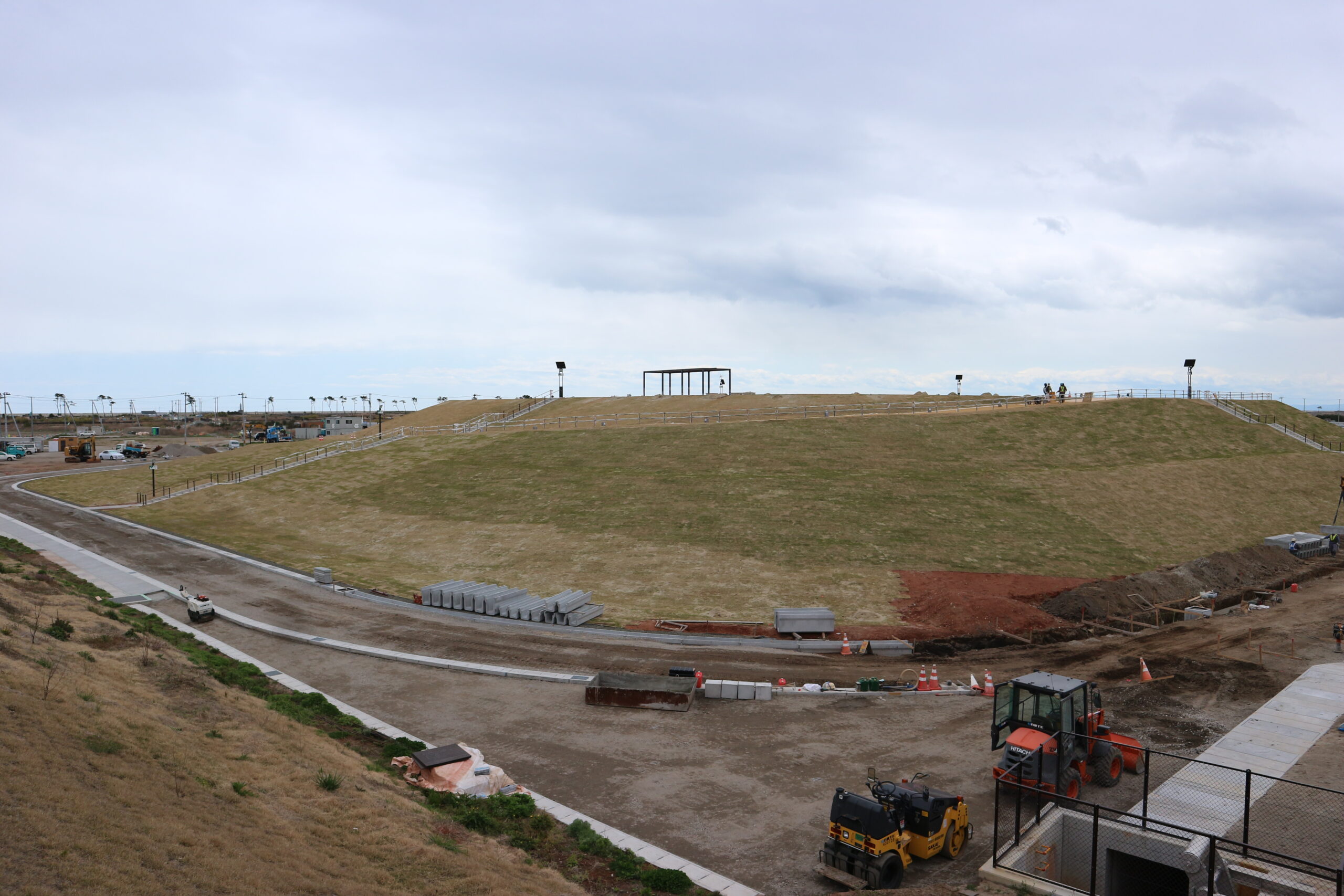
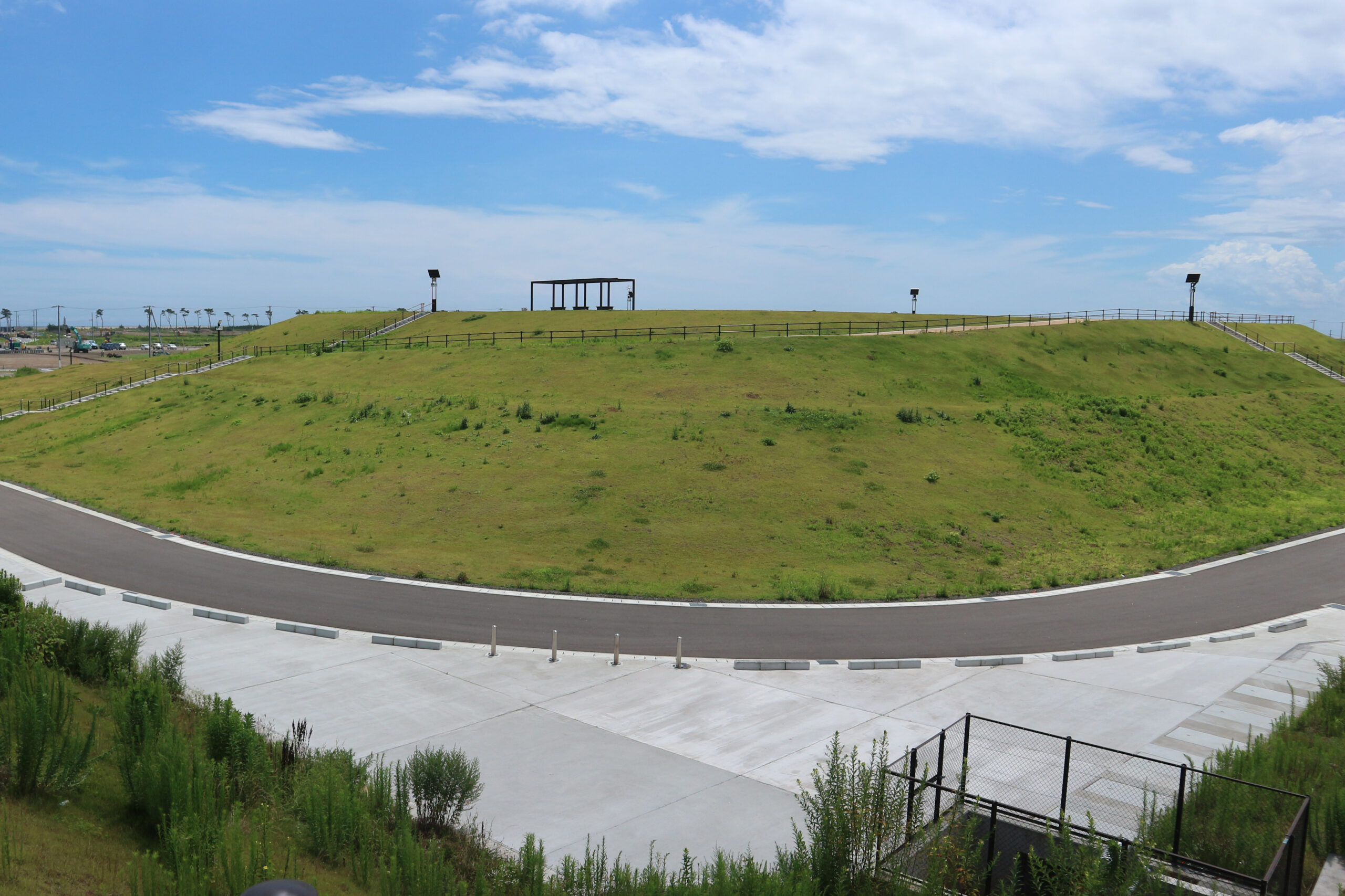
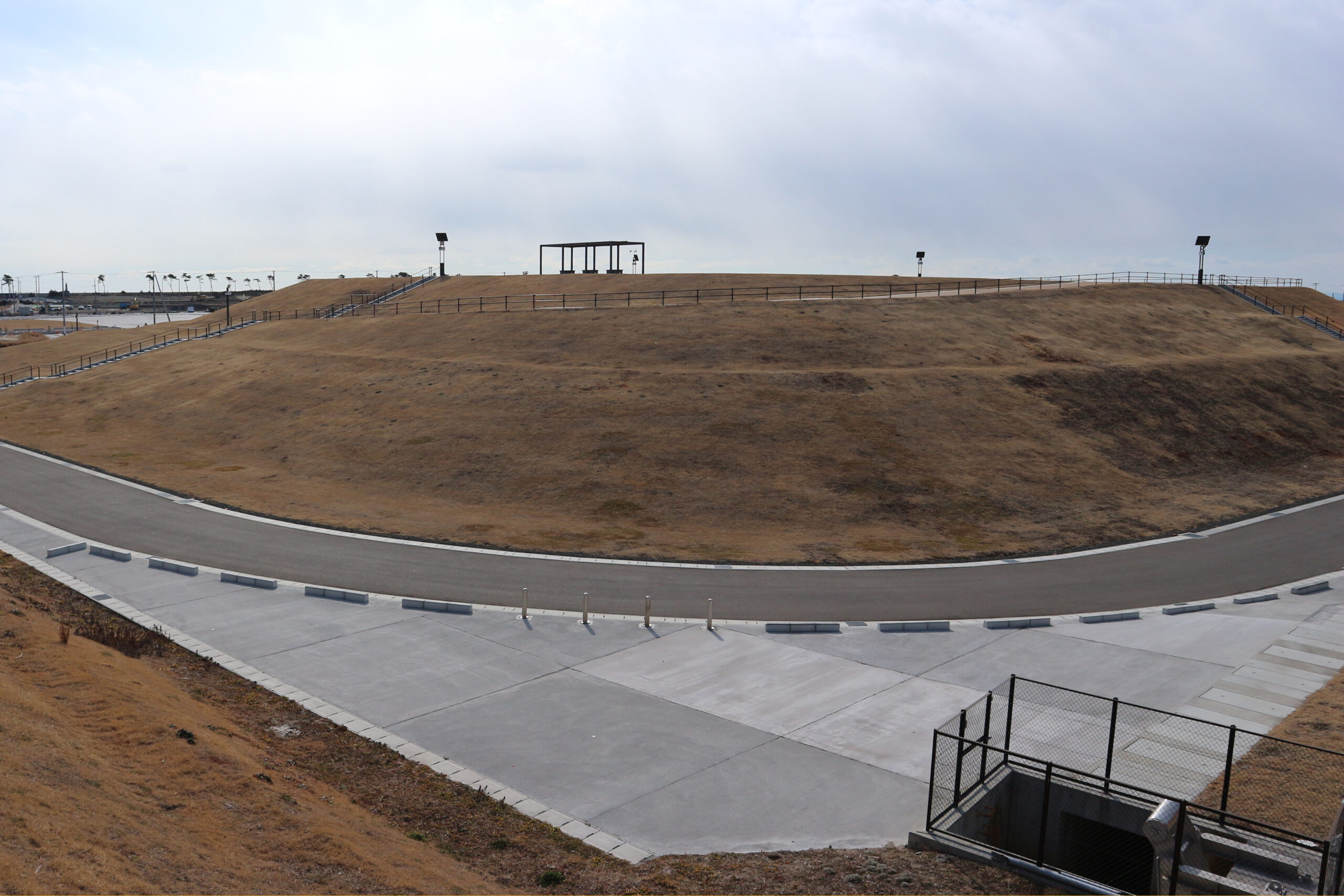
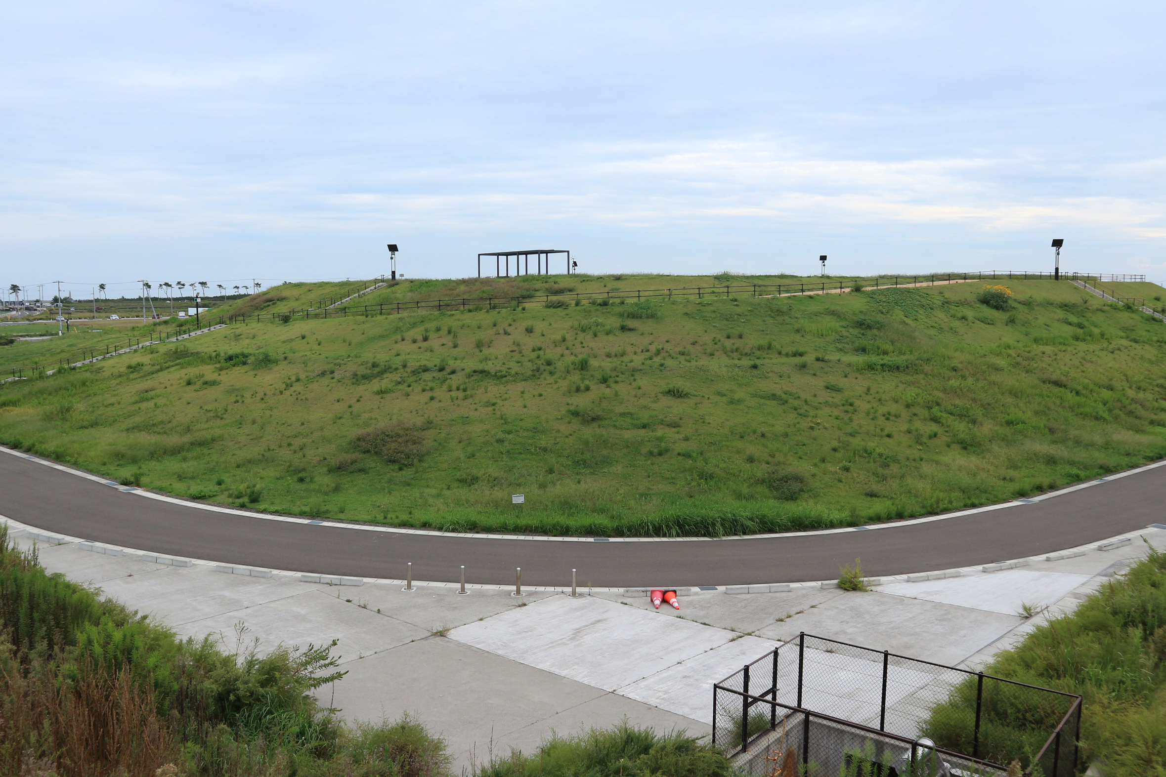
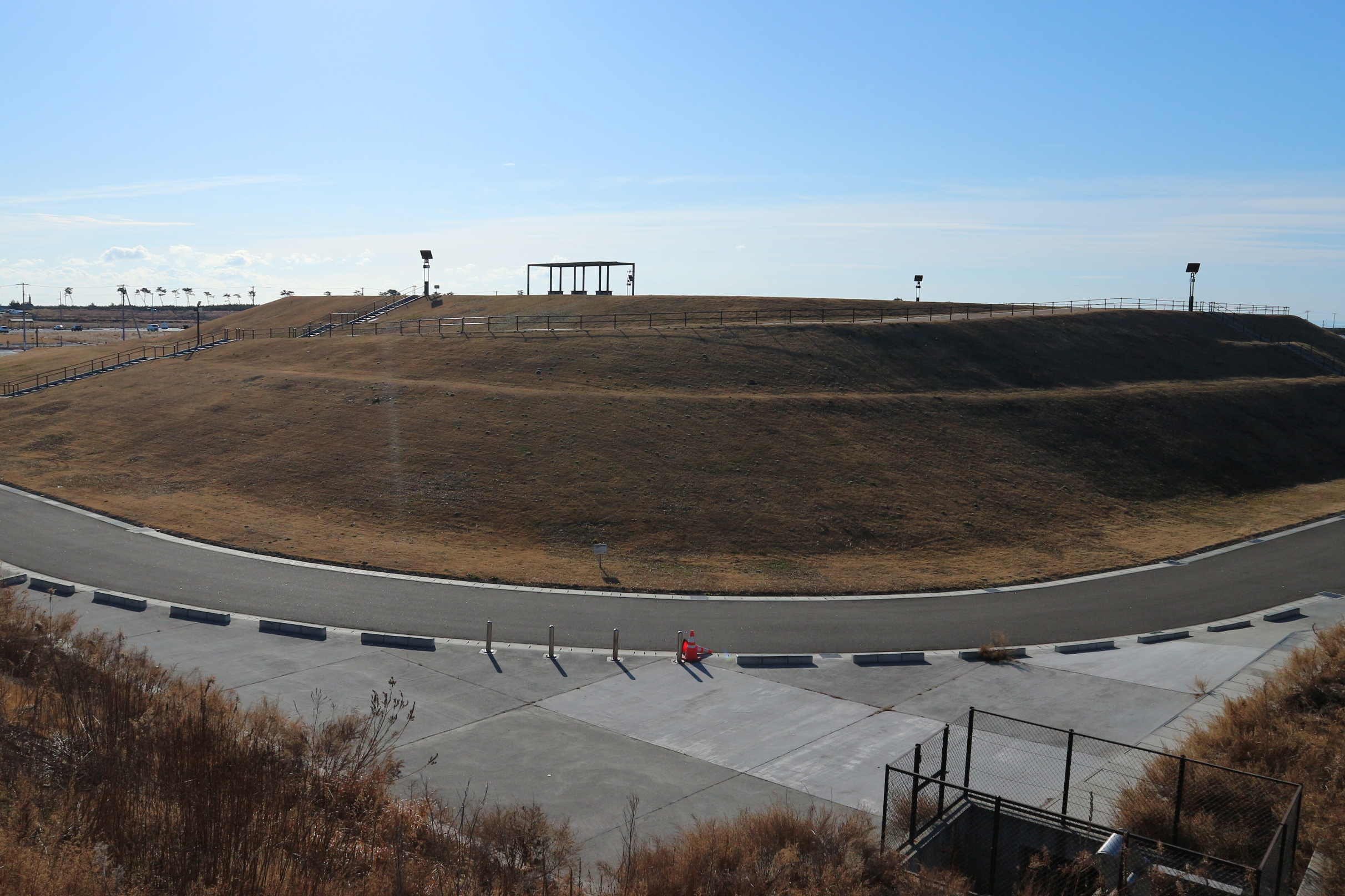
(A)2019年8月25日/(B)2019年11月8日/(C)2019年12月1日/(D)2019年12月28日/(E)2020年4月24日/(F)2021年7月28日/(G)2022年2月24日/(H)2023年9月26日/(I)2024年1月28日
記録:震災遺構仙台市立荒浜小学校
2020年に荒浜小学校の南側に完成した避難の丘。
その高さは10m、5300人が避難できるという。
[2022年5月12日公開]
[2024年5月28日更新]